What is recorded here
One corn-drying kiln was located c. 18m S of the rectangular enclosure (ME025-083001-) at Site 2, and two are located close together c. 30m SE of the D-shaped (ME025-084----) enclosure at Site 3. The upper kiln is a rough figure-of-eight area (dims 1.8m NW-SE; 1.1m NE-SW; max. D 0.4m at SE). The basal fill of charcoal yielded a C14 date of 571-681 cal. AD (UBA-9923) and it had three ash lenses. This kiln was abandoned after a conflagration leaving its load of barley and oats largely intact.
Of the two kilns at Site 3 one consisted of a stone-lined flue (L 1.07m; Wth 0.42m) sloping down to a firing chamber (diam. 1m) at NE with a circular drying chamber (diam. 1.48m; D 0.45m) at SW. A fragment of a quern stone was used as a baffle in the flue. The basal layer in the firing chamber yielded a C14 date of 776-898, 920-946 cal. BC (UBA-9930). Just to the E was a bar-bell kiln consisting of a stone-lined firing chamber (diam. 0.96-1m) at S leading through a flue (L 1.46m; Wth 0.32-0.6m) to a drying chamber (diam. 1.7m). A sample from the charcoal-rich basal layer of the firing chamber has a C14 date of 772-892 cal. AD (UBA-9933). (Halliday 2009, 4205)
See the attached plans from Halliday 2009 (figs 25, 7)
Compiled by: Michael Moore
Date of upload: 5 April 2023
Halliday, S. 2009 Navan Inner Relief Road Scheme, Sites 2 & 3. Licence: 06E0024. Final Excavation Report, Unpublished, Arch Tech
The monument record does not grant public access. Check the route and ask the landowner before entering private land.
- What survives
- Recorded monument
Places near here
 Enclosure in MoathillEnclosure · 58 yd
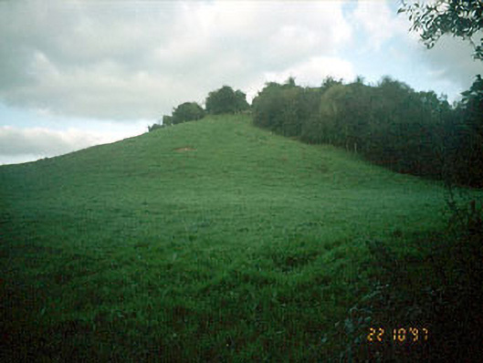 Navan MoatOfficially recorded historic building · 98 yd
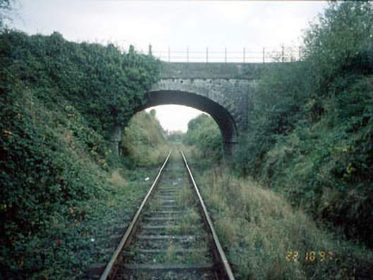 bridgebridge · 175 yd
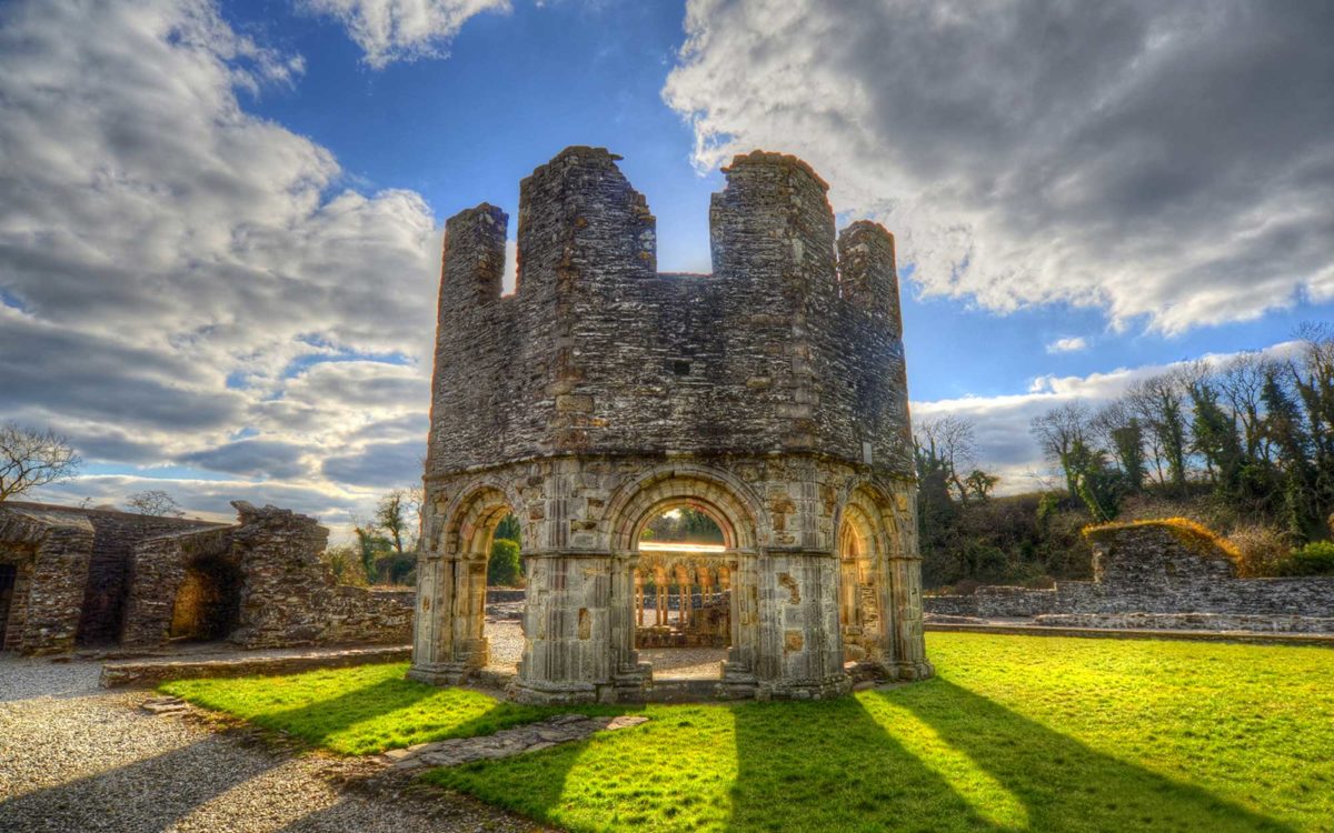 Burnt spread in Abbeyland SouthBurnt spread · 1148 yd
 The RampartWood · 1610 yd
 Nangle CourtMemorial · 1.0 mi
 CastleCastle, motte · 1.0 mi
 Rathaldron Ho.Castle, tower house · 1.3 mi
 Blackcastle DemesneWood · 2.1 mi
 Donaghmore Round TowerHeritage attraction · 2.1 mi
 BohermeenMountain / peak · 3.0 mi
 Carn HillMountain / peak · 3.2 mi