What is recorded here
On a gentle E-facing slope, in low slightly undulating pasture. Excavated in 2007 in advance of the N9/N10 Kilcullen to Waterford road improvement scheme (Licence no. E3857). A oval cereal-drying kiln (1.66m by 1.1m by 0.61m) with evidence of in situ burning at the lower levels and a high concentration of charcoal and some fragmented burnt bone and charred seeds. A fragment of willow returned a radiocarbon date of 91 cal BC – cal AD 50 (UBA-14046). A possible post-hole c. 5m to the S may be related. (Wiersbicki 2010, 251, no. 953; Wiersbicki and Coughlan 2012)
Compiled by: Mary Tunney
Date of upload: 7 January 2014
The monument record does not grant public access. Check the route and ask the landowner before entering private land.
- What survives
- Recorded monument
Places near here
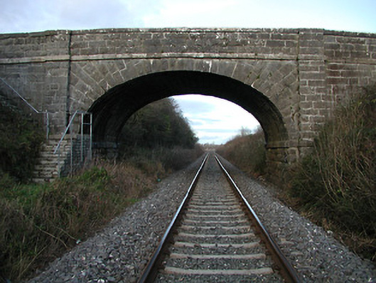 bridgebridge · 350 yd
 Brophys of the PostArchaeological place · 646 yd
 The Green GardenWood · 710 yd
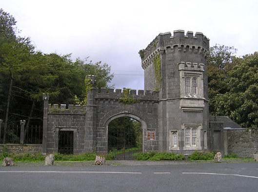 Shankill Castlegates/railings/walls · 785 yd
 Rudolf TrenchArchaeological place · 842 yd
 Church (in ruins), GraveyardChurch · 1.9 mi
 Site of CastleCastle, unclassified · 2.9 mi
 Lock Keeper's House and Lodge MillsVisitor information · 3.0 mi
 Freneystown CastleCastle, tower house · 3.3 mi
 The Columban WayVisitor information · 3.4 mi
 Church, GraveyardChurch · 3.9 mi
 Wych ElmWych Elm · 4.3 mi