What is recorded here
On a low rise in relatively flat pastureland. Excavated in 2008 in advance of the N9/N10 Kilcullen to Waterford road improvement scheme (Licence no. E3851). A keyhole-shaped cereal-drying kiln with oxidised burnt clay at the base of the N side. A limestone hone stone was recovered from the fill. A number of pits and hearths were excavated c. 20 to the W of the kiln. A sample of hazel charcoal from one of the pits yielded a radiocarbon date of cal AD 829-984 (UBA-12236). (Kyle 2010, 249, no. 944; Kyle and Coughlan 2012)
Compiled by: Mary Tunney
Date of upload: 11 December 2013
The monument record does not grant public access. Check the route and ask the landowner before entering private land.
- What survives
- Recorded monument
Places near here
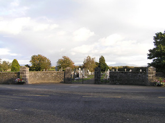 graveyard/cemeterygraveyard/cemetery · 588 yd
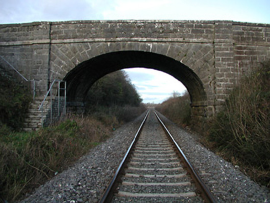 bridgebridge · 658 yd
 Brophys of the PostArchaeological place · 1219 yd
 The Green GardenWood · 1442 yd
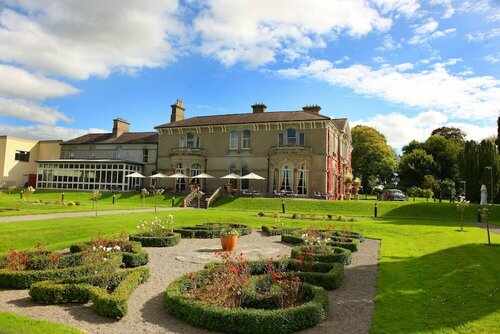 Enclosure in PaulstownEnclosure · 1492 yd
 Church (in ruins), GraveyardChurch · 2.4 mi
 Site of CastleCastle, unclassified · 2.6 mi
 Freneystown CastleCastle, tower house · 2.9 mi
 Lock Keeper's House and Lodge MillsVisitor information · 3.5 mi
 The Columban WayVisitor information · 3.9 mi
 HawthornHawthorn · 4.1 mi
 Church, GraveyardChurch · 4.5 mi