What is recorded here
Killygarvan Lower Lintel Grave is a rectangular stone chamber on the south side of an island in County Donegal, where erosion exposed an adult female burial aligned east to west. The sea had already taken much of the skeleton before January 1995, leaving only a skull at the western end and two collapsed side stones within a chamber once closed by flat slabs. Raghnall Ó Floinn had excavated other lintel graves at the same spot in 1988, suggesting this was not a lonely death but a repeated choice of place. The tide still touches the grave, erasing what memory and stone cannot hold.
In January 1995 a lintel grave containing an inhumation burial was discovered on this island. It was located on the south side of the island, where erosion had exposed it in long section. The grave had been partially destroyed and lay on the high-tide line. Some of the human remains eroding out of the section had been removed to Donegal County Museum. The cist was rectangular in plan with its long axis aligned east/west. The surviving portion measured approximately 1.7m long by 0.4m wide by 0.3m high. Erosion had exposed the southern side of the cist, and only two collapsed side stones survived. The north side was formed of three edge-set slabs, each approximately 0.5m in length, with the flat sides facing inwards. The ends of the cists were not closed, but one stone found lying flat near the west end might represent a collapsed end stone. A number of courses of flat stones survived above the southern side walls. The cist contained an extended inhumation of an adult female (NMI 1995:175) lying west/east and no accompanying artefacts were found. Much of the skeleton had been removed prior to excavation, but the skull was found at the western end. A number of lintel graves had been excavated in the same location by Raghnall Ó Floinn in 1988 (DG0238-033----) (Ó Floinn 1992).(Cahill and Sikora 2011, ii, 18-21)
Compiled by: Paul Walsh
Date of upload: 15 April 2014
Lintel grave, dating to the Neolithic or early Bronze Age. This find is significant as it provides evidence of early burial practices and human activity on the island.
The monument record does not grant public access. Check the route and ask the landowner before entering private land.
- What survives
- Recorded monument
Places near here
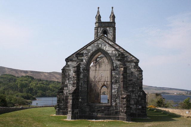 Old ChurchChurch · 247 yd
 Gortflugh Stone RingfortFairy fort / stone ringfort · 742 yd
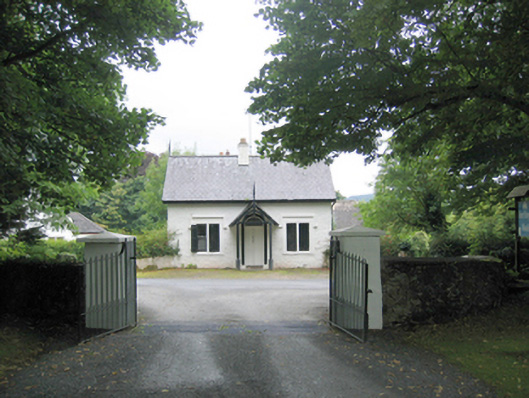 Fort Royalgate lodge · 1249 yd
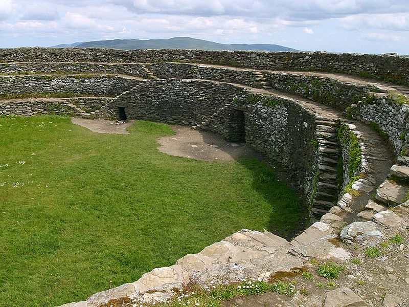 Fairy fort / stone ringfort in ClondallanFairy fort / stone ringfort · 1502 yd
 Wych ElmWych Elm · 1746 yd
 RathmullanOfficial bathing water · 1.3 mi
 Inch FortCastle · 2.2 mi
 Rathmullan Wood Nature ReserveNature reserve · 2.2 mi
 LisfannonOfficial bathing water · 2.2 mi
 Croaghan HillMountain / peak · 2.3 mi
 Brown’s PointHeadland · 2.6 mi
 Neds Point FortFort · 2.8 mi