What is recorded here
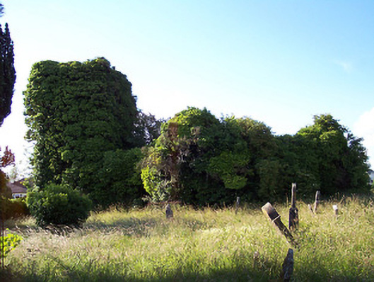
Detached former Church of Ireland Church, built c.1670, consisting of a three-bay hall with attached four-stage tower on square-plan to the west end. Now a ruinous roofless shell. Constructed of rubble limestone, all detail is now obscured by heavy vegetation and ivy growth. Pollard Family vault, c.1679, under nave with finely carved blocking stone having inscription. Set in extensive graveyard with variety of eighteenth and nineteenth century gravestones, some with elaborate cast-iron railings. Site is enclosed by a rubble limestone wall with simple wrought-iron gate with central cross to top. Located in slightly elevated position to the north of the village.
An historic church set within an extensive graveyard, forming a picturesque landmark to the north of Castlepollard. This church is the earliest structure still standing in the village, originally dating to the late-seventeenth century. It is quite possible that this graveyard marks the site of the early Christian monastic site of Killifree, associated with the monastic community at nearby Fore, which is mentioned in various annals. The present church was constructed by Walter Pollard in the and was the Church of Ireland parish church until c. 1827, when the new church (15302036) was constructed to the south of The Square. Many of the early monuments found in the present church must have been moved from Killafree when it was deconsecrated. This site has important historical connections with the Pollard family whose family vault is still to be found under the church today. The Pollard family were responsible for the development of the original village in the early-seventeenth century and the remodelling of the village in its present form c.1820. There is a local tradition that the Duke of Wellington (of Waterloo fame) married Kitty Pakenham at Killafree Church. However, they were married in St. George's Church in Dublin but they may well have worshipped here. The pre-1700 fabric in the church, graveyard and sections of the enclosing wall are of archaeological importance. The cast-iron railings and carvings to headstones and Pollard Family Vault are of artistic merit, while the gateway and boundary wall to the perimeter of the site form an attractive feature in the streetscape. The site is of social importance due to its history as a burial ground and place of worship. A school is marked on the First Edition Ordnance Survey map (1838-9) just to the east of the church itself. No trace of this building remains today.
This does not grant access. Most recorded buildings are privately owned; view them only from public ground unless the owner allows entry.
Places near here
 Church (in Ruins)Church · 27 yd
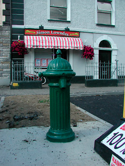 water pumpwater pump · 189 yd
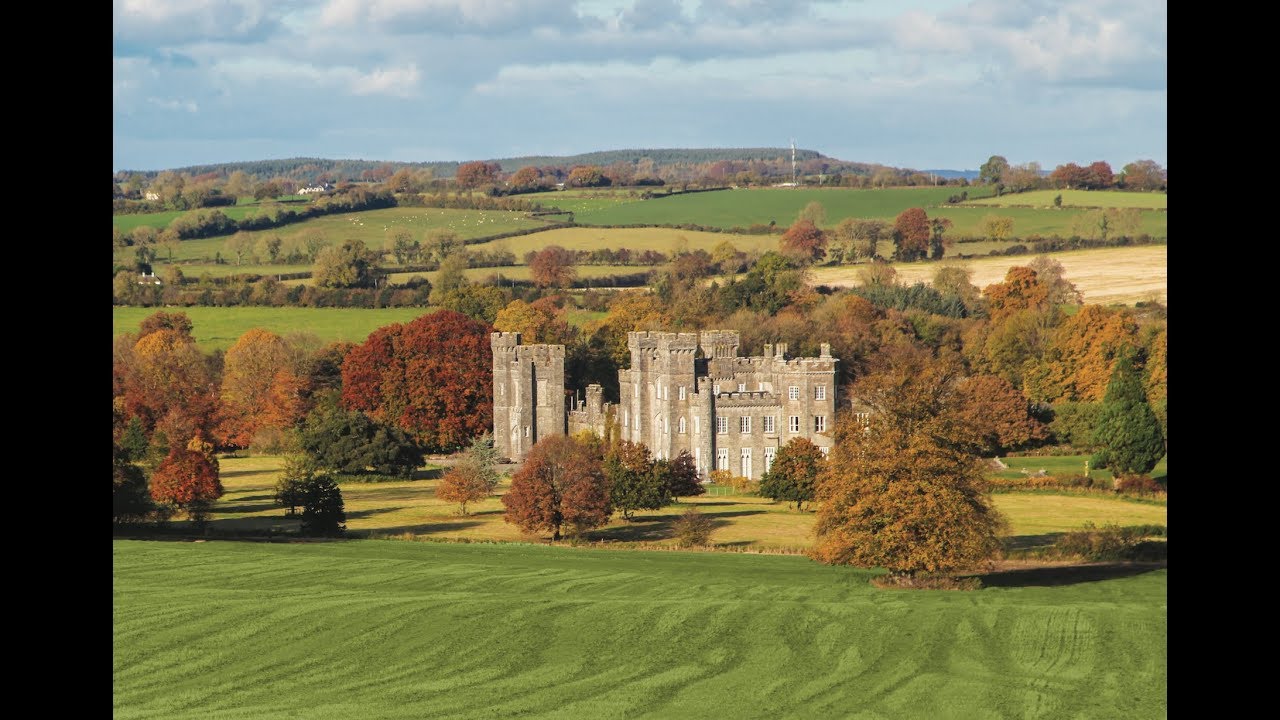 Partially outlinedFairy fort / earthen ringfort · 641 yd
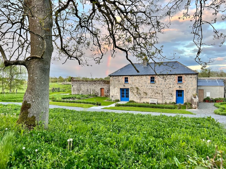 TobernamasalHoly well · 1267 yd
 Silver FirSilver Fir · 1.0 mi
 European ashEuropean ash · 1.0 mi
 CastleCastle, tower house · 1.2 mi
 Bawn in KiltoomBawn · 1.8 mi
 St Feichin's MillHeritage attraction · 2.9 mi
 Fore AbbeyHeritage attraction · 2.9 mi
 Ben of ForeMountain / peak · 3.5 mi
 Rock of CurryCliff · 3.7 mi
Other information
Photo: National Inventory of Architectural Heritage · Website use allowed for educational or private purposes with source credit