What is recorded here
In pasture, on moderate ENE-facing slope. Square area (L c. 50m) enclosed by earthen bank (int. H 0.5m; ext. H 0.7m) SE->NNE; scarped edge NNE->SE; external fosse (D 0.2m; Wth 2.5m), with counter-scarp bank (ext. H 0.9m) W->NNW. Substantial field boundary follows line of outer edge of fosse NNW->W. Interior slopes down gently to ENE and is largely inaccessible due to dense overgrowth. Corners noticeably raised and pointed. Break (Wth 1.75m) in bank to WNW probably caused by cattle erosion. According to Westropp (1904-5, 404) there was a 'killeen' here.
Compiled by: Denis Power
Date of upload: 26 August 2011
The monument record does not grant public access. Check the route and ask the landowner before entering private land.
- What survives
- Recorded monument
Places near here
 BarrowBarrow, ring-barrow · 765 yd
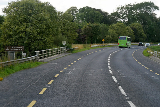 Goulburn Bridgebridge · 1.2 mi
 Fulacht fia in Caher (lane)Fulacht fia · 1.8 mi
 Templeglentan Church (in ruins)Church · 1.9 mi
 Barnagh HillMountain / peak · 2.4 mi
 TobereenalaffinaSpring · 3.7 mi
 Purt CastleCastle · 4.3 mi
 Three CountiesPicnic place · 4.8 mi
 Glenquin CastleCastle · 5.5 mi
 Sugar HillMountain / peak · 5.7 mi
 Saint Ite's WellSpring · 7.0 mi
 John B. KeaneMemorial · 11 mi