
What is recorded here
In pasture, on gentle W-facing slope. Circular area (50.2m N-S; 50.3m E-W) enclosed by earthen bank (int. H 1.05m; ext. H 0.7m) NNW->SW and defined by scarped edge (H c. 0.5m) SW->NNW. Stone wall, on N-S axis, skirts base of scarp WSW->WNW. Level interior under pasture, no visible surface trace of grave markers or burial plots. Nothing appears to be known of the site's history (Westropp 1904-5, 404); according to local information site of famine burial ground.
Compiled by: Denis Power
Date of upload: 26 August 2011
The monument record does not grant public access. Check the route and ask the landowner before entering private land.
- What survives
- Recorded monument
Places near here
 OutlinedChurch · 1286 yd
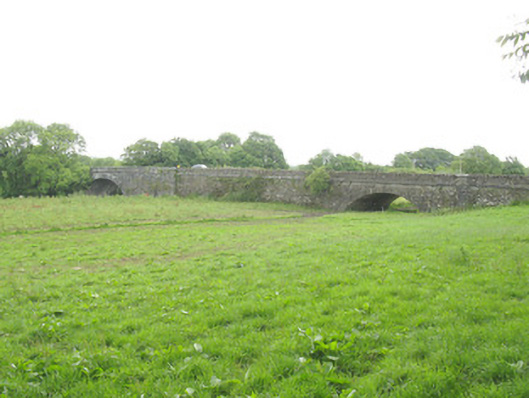 Wellesley Bridgebridge · 1504 yd
 Fulacht fia in Ahane (trughanacmy By., Knocknagoshel Ed)Fulacht fia · 1.2 mi
 Mound in Kilkinlea UpperMound · 1.5 mi
 Purt CastleCastle · 2.8 mi
 Three CountiesPicnic place · 6.8 mi
 CastleCastle, tower house · 7.3 mi
 John B. KeaneMemorial · 8.0 mi
 Holocaust MemorialMemorial · 8.0 mi
 Kerry Writers' MuseumMuseum · 8.4 mi
 Lartigue MonorailMuseum · 8.8 mi
 Crag CaveCave · 9.0 mi
Other information
Photo: Credit not shown in the picture search · Rights wording not checked; contact us if this picture should be removed