
What is recorded here
Killeavy Castle is recorded as a castle in County Armagh. Its open map record supplies this location and any linked names or public references.
Killeavy Castle was built in the late 16th century by the MacCawell (MacCawell) family, an influential Gaelic Irish clan in County Armagh. It is remembered as a significant example of early Irish domestic architecture and as a symbol of the region's Gaelic heritage before the Plantation of Ulster.
Places near here
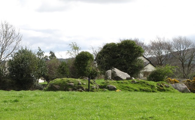 ROUND CAIRN WITH PORTAL TOMB: SOUTH CAIRN in ClonlumROUND CAIRN WITH PORTAL TOMB: SOUTH CAIRN · 713 yd
 Clonlum South CairnArchaeological place · 713 yd
 St Moninna's WellSpring · 1474 yd
 Slieve GullionMountain / peak · 1620 yd
 Killevy ChurchesVisitor information · 1696 yd
 EARLY CHRISTIAN & MEDIEVAL CHURCHES, GRAVEYARD, AUGUSTINIAN NUNNERY & ROUND TOWER: KILLEVY CHURCHES in BallintempleEARLY CHRISTIAN & MEDIEVAL CHURCHES, GRAVEYARD, AUGUSTINIAN NUNNERY & ROUND TOWER: KILLEVY CHURCHES · 1702 yd
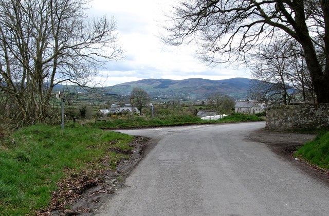 Killevy Churches AONB SignVisitor information · 1735 yd
 Ring of GullionRing of hills and protected landscape · 1.0 mi
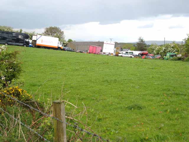 Carn HillMountain / peak · 1.5 mi
 Faughill MountainMountain / peak · 2.0 mi
 Church of Ireland ChurchChurch · 2.7 mi
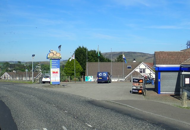 Ring of Gullion WayWalking route · 2.8 mi
Other information
Photo: Eric Jones · CC BY-SA 2.0