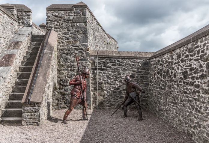
What is recorded here
Kill Fort is a worn earthen ringfort on the west shoulder of a Cork hillock, holding a circular pasture space thirty metres across. A rectangular stone structure still leans against the outer bank, perhaps marking a doorway, a shrine, or a boundary between the ordinary field and the hidden life within. The fort keeps its shape despite age, suggesting that killing and making life may have shared the same ground.
In pasture, on W shoulder of hillock. Circular area (30m N-S; 32m E-W) enclosed by worn earthen bank (H 2.2m); external fosse (D 0.8m) to S. Bank stone-faced in parts. Rectangular stone-built structure (3.75m N-S; 2.35m E-W; H 0.73m) adjoins outer bank face to SSE.
The above description is derived from the published 'Archaeological Inventory of County Cork. Volume 1: West Cork' (Dublin: Stationery Office, 1992). In certain instances the entries have been revised and updated in the light of recent research.
Date of upload/revision: 14 January 2009
The monument record does not grant public access. Check the route and ask the landowner before entering private land.
- What survives
- Recorded monument
Places near here
 Carraig a' ShleáinMountain / peak · 369 yd
 West Cork Quad AdventuresHeritage attraction · 779 yd
 Kill Burial GdBurial ground · 797 yd
 Hut site in FahouraghHut site · 806 yd
 Suí FinnMountain / peak · 1011 yd
 Ruins of Daly HouseholdRuins · 1034 yd
 gate lodgegate lodge · 1298 yd
 Placenames & Their Amazing StoriesHeritage attraction · 1304 yd
 Gleann BearcháinWood · 1435 yd
 Castlehaven StrandBeach / strand · 1594 yd
 Castlehaven CastleCastle · 1631 yd
 Sandy CoveBeach / strand · 1658 yd
Other information
Photo: Credit not shown in the picture search · Rights wording not checked; contact us if this picture should be removed