
What is recorded here
Kill Burial Ground is a disused rectangular burial area in County Cork, marked on the 1842 OS map and bounded partly by a shallow fosse. It holds no visible grave markers, only grass and memory. The dead buried there are unnamed, but the shape of the place still acknowledges them.
In pasture. Marked 'Kill Burial Gd.' on OS 6-inch map (1842). Rectangular area (L 6m; Wth 4m) partially defined by shallow fosse. No grave markers noted.
The above description is derived from the published 'Archaeological Inventory of County Cork. Volume 1: West Cork' (Dublin: Stationery Office, 1992). In certain instances the entries have been revised and updated in the light of recent research.
Date of upload/revision: 14 January 2009
The monument record does not grant public access. Check the route and ask the landowner before entering private land.
- What survives
- Recorded monument
Places near here
 Enclosure in Belrose UpperEnclosure · 913 yd
 Boulder-burial in LissarourkeBoulder-burial · 1155 yd
 KilnKiln, lime · 1421 yd
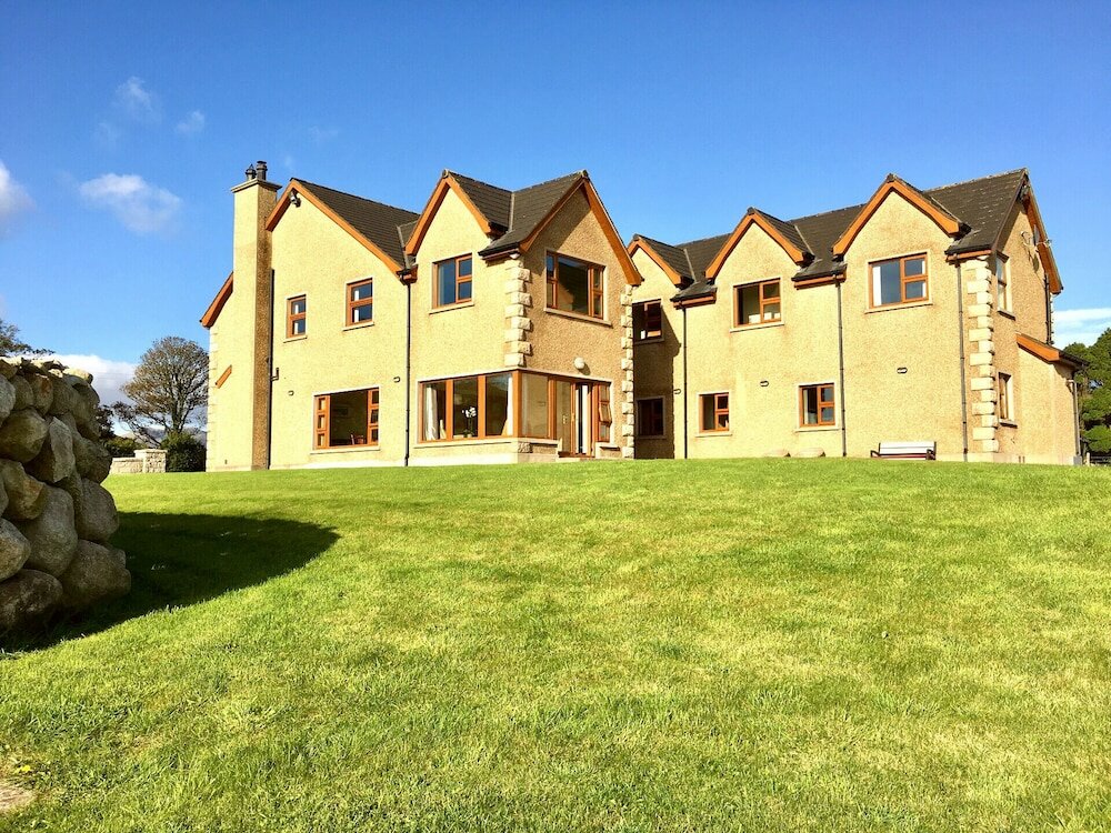 Country house in KillaneerCountry house · 1.5 mi
 Green HillMountain / peak · 1.8 mi
 Castle RockNamed rock · 3.3 mi
 Michael Collins MemorialMemorial · 3.9 mi
 The GlenWood · 4.1 mi
 Towers (in Ruins)House, fortified house · 4.4 mi
 Irish National Forestry FoundationNature reserve · 4.6 mi
 Tobar MacloonaboySpring · 4.8 mi
 Castle DerryCastle · 4.8 mi
Other information
Photo: Credit not shown in the picture search · Rights wording not checked; contact us if this picture should be removed