
What is recorded here
In pasture, on steep S-facing slope overlooking valley of River Feale. Site defined by two parallel earthen banks, 16.8m apart, running N-S. These are linked at S end by scarped edge (H 0.55m). Bank on W side (int. H 0.25m; ext. H 0.3m) runs c. 9m before gradually petering out at N end. Bank on E side (int. H 0.6m; ext. H 0.35m) runs N for 31.5m where it is truncated by E-W field boundary. Along inside edge of E bank is area of dumped stones (c. 7.5m E-W; c. 9m N-S), marked at N end by thorn bush. Otherwise interior under grass with no evident burial plots or grave markers.
Compiled by: Denis Power
Date of upload: 26 August 2011
A local ancient tomb; wider significance not recorded.
The monument record does not grant public access. Check the route and ask the landowner before entering private land.
- What survives
- Recorded monument
Places near here
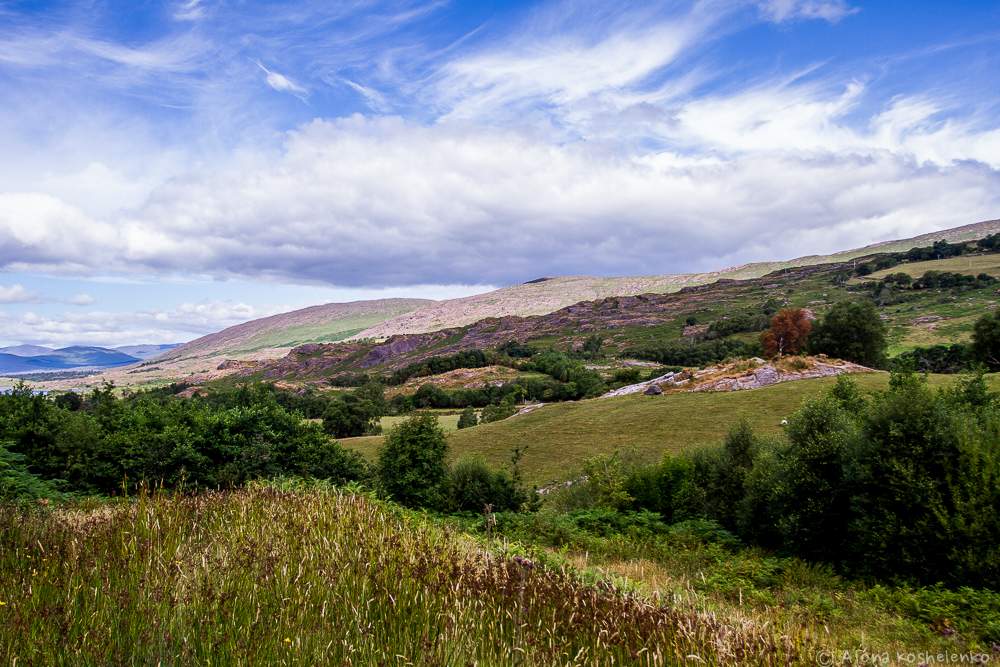 Fulacht fia in MountcollinsFulacht fia · 921 yd
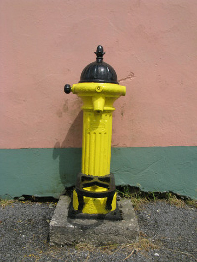 water pumpwater pump · 1116 yd
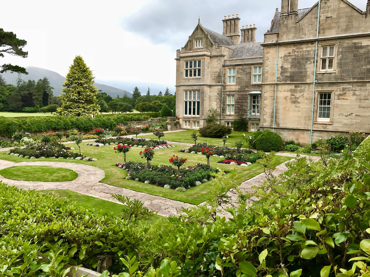 Enclosure in Brosna WestEnclosure · 1217 yd
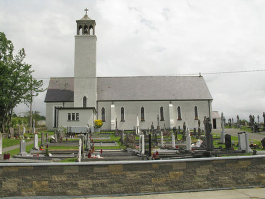 Catholic Church of Our Lady of the Assumptionchurch/chapel · 1258 yd
 Three CountiesPicnic place · 2.2 mi
 Barnagh HillMountain / peak · 4.7 mi
 Purt CastleCastle · 6.0 mi
 KnockateeMountain / peak · 6.5 mi
 Glenquin CastleCastle · 7.1 mi
 Saint Ite's WellSpring · 8.3 mi
 Crag CaveCave · 10.0 mi
 John B. KeaneMemorial · 13 mi
Other information
Photo: Credit not shown in the picture search · Rights wording not checked; contact us if this picture should be removed