What is recorded here
Kill Burial Gd (Disused) is a subcircular rough pasture in County Cork, Ireland, marked “Kill Grave Yd.” on the 1842 OS map and set inside an early ecclesiastical enclosure. A low mound lies in its southeast quadrant, with stones exposed on its surface, and a stone-lined grave was uncovered at the edge in 1981 before being filled in again. The place may have served nearby worshippers for generations, then faded from memory until pasture and neglect took it back.
Marked 'Kill Grave Yd.' on OS 6-inch map (1842). In S quadrant of early ecclesiastical enclosure (CO094-080001-). Subcircular area (28m NE-SW; 10m NW-SE) of rough pasture with mound (L 4m; Wth 0.3m; H 0.4m) in SE quadrant. Stones exposed on surface of mound. Stone-lined grave uncovered in 1981 while clearing topsoil at edge of burial ground; grave immediately filled in.
The above description is derived from the published 'Archaeological Inventory of County Cork. Volume 1: West Cork' (Dublin: Stationery Office, 1992). In certain instances the entries have been revised and updated in the light of recent research.
Date of upload/revision: 14 January 2009
Neolithic passage tomb, dating to c. 3500–2500 BCE. Its location within an early ecclesiastical enclosure suggests a possible continuity of sacred landscape use from prehistoric to early Christian periods.
The monument record does not grant public access. Check the route and ask the landowner before entering private land.
- What survives
- Recorded monument
Places near here
 IndicatedEcclesiastical enclosure · 1 yd
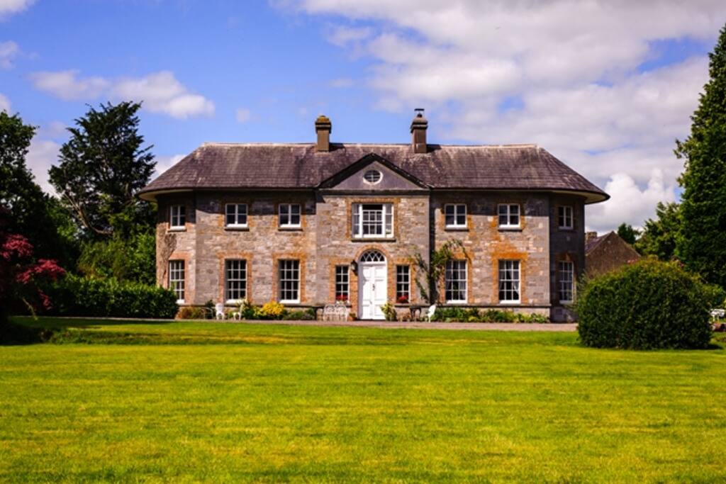 Country house in ArdcahanCountry house · 1182 yd
 Ogham StoneOgham stone · 1373 yd
 OCrowleys Castle (in Ruins)Castle, tower house · 1.0 mi
 KilnKiln, lime · 1.4 mi
 Funmanway Adventure LandHeritage attraction · 2.4 mi
 Mount GunneryMountain / peak · 2.6 mi
 Kilmichael Ambushambush · 3.1 mi
 Kilmichael Ambush SiteMonument · 3.1 mi
 Graveyard in Dunmanway NorthGraveyard · 3.2 mi
 Castle RockNamed rock · 3.4 mi
 Dunmanway Heritage CentreVisitor information · 3.7 mi