What is recorded here
Kill Burial Gd is a lost grave yard on an east-facing slope in County Cork, marked on the 1842 map but no longer visible in the pasture. It may have held bodies for generations before the grass and forgetting took it back. The dead did not leave a ridge or stone for the living to find, only a name preserved on paper.
In pasture, on E-facing slope. Marked 'Kill Grave Yard on OS 6-inch map (1842). No visible surface trace.
The above description is derived from the published 'Archaeological Inventory of County Cork. Volume 1: West Cork' (Dublin: Stationery Office, 1992). In certain instances the entries have been revised and updated in the light of recent research.
Date of upload/revision: 14 January 2009
A disused burial ground, likely medieval in date, marked on an 1842 map; its specific type is not identifiable from available information.
The monument record does not grant public access. Check the route and ask the landowner before entering private land.
- What survives
- Recorded monument
Places near here
 OCrowleys Castle (in Ruins)Castle, tower house · 836 yd
 Man-made underground passage in ShanlaraghMan-made underground passage · 1031 yd
 Windmill in CurradrinaghWindmill · 1146 yd
 KilnKiln, lime · 1438 yd
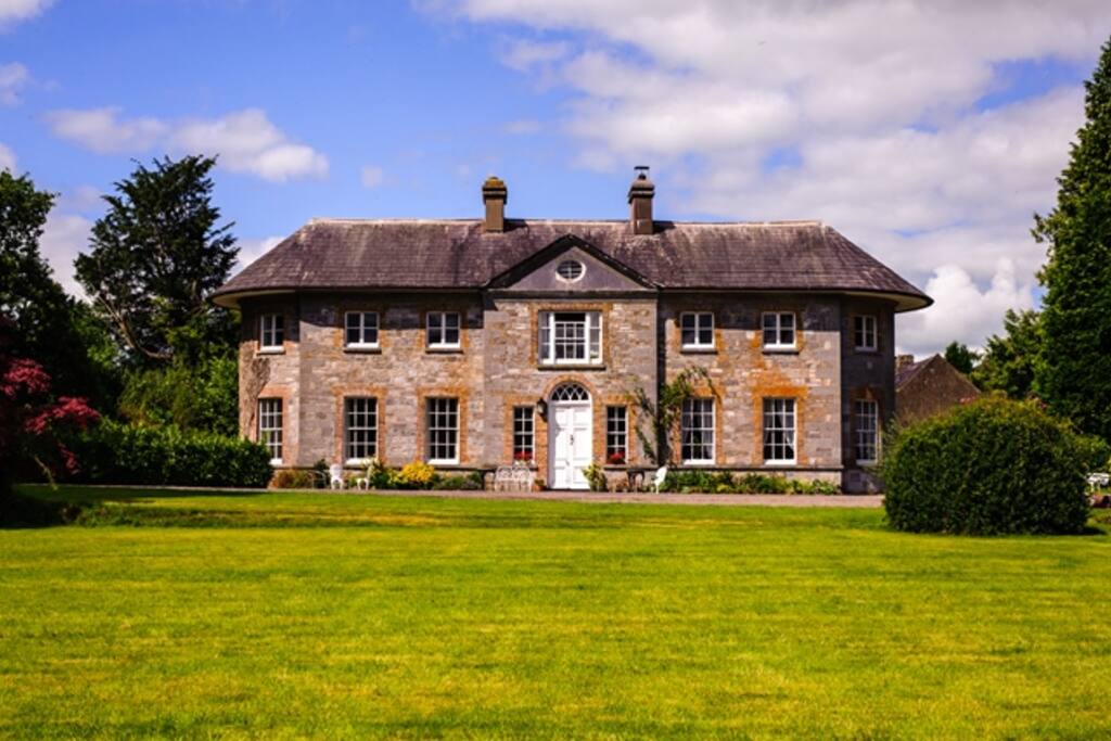 Country house in ArdcahanCountry house · 1.4 mi
 Kilmichael Ambushambush · 2.4 mi
 Kilmichael Ambush SiteMonument · 2.4 mi
 Funmanway Adventure LandHeritage attraction · 3.1 mi
 Castle RockNamed rock · 3.2 mi
 Mount GunneryMountain / peak · 3.3 mi
 Graveyard in Dunmanway NorthGraveyard · 4.0 mi
 Irish National Forestry FoundationNature reserve · 4.2 mi
Other information
Photo: Credit not shown in the picture search · Rights wording not checked; contact us if this picture should be removed