What is recorded here
Kilcolman Church occupied the southeast quadrant of an early ecclesiastical enclosure, where a slightly raised area twelve yards across once anchored worship. Time and indifference have reduced that sacred ground to an overgrown dump, leaving only a curved earthen bank eight metres long and thirty centimetres high. The church itself has vanished, but the surviving ridge still marks the boundary between human devotion and forgotten distance.
In SE quadrant of early ecclesiastical enclosure (CO109-033002-). O'Ríordáin (1932, 5) noted 'slightly raised area 12 yards in diameter'. This area is now overgrown and used as dump. Slightly curved earthen bank (H 0.3m; L 8m) only visible remains.
The above description is derived from the published 'Archaeological Inventory of County Cork. Volume 1: West Cork' (Dublin: Stationery Office, 1992). In certain instances the entries have been revised and updated in the light of recent research.
Date of upload/revision: 14 January 2009
The monument record does not grant public access. Check the route and ask the landowner before entering private land.
- What survives
- Recorded monument
Places near here
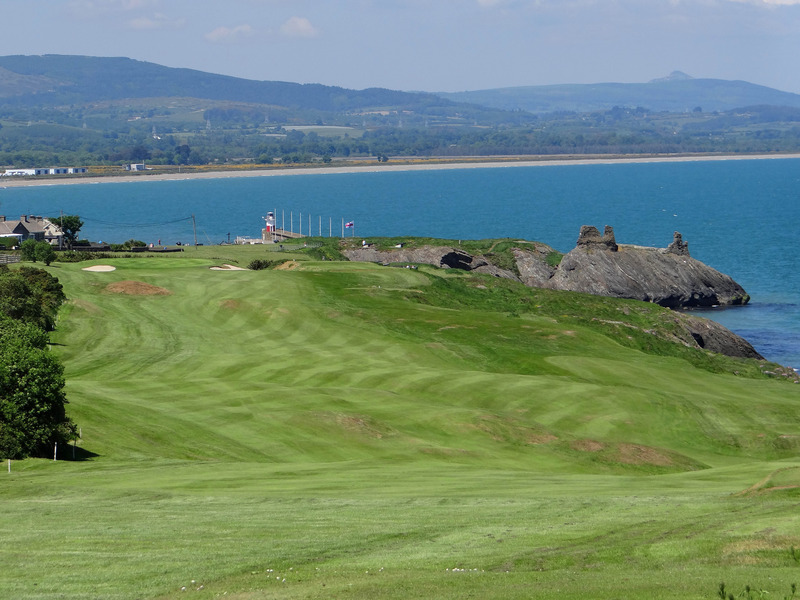 Fulacht fia in Maulbrack WestFulacht fia · 635 yd
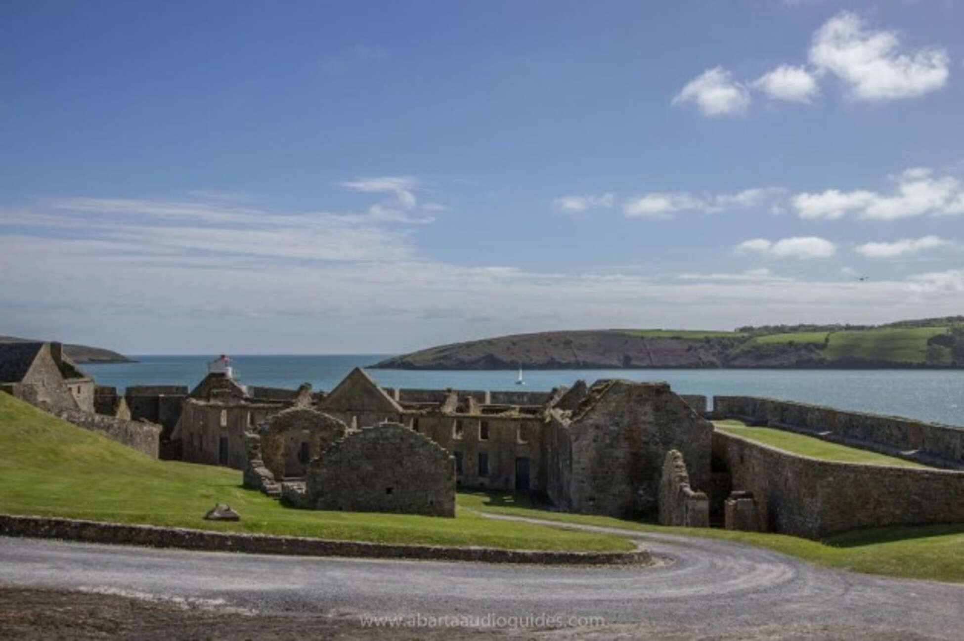 Kilcolman FortArchaeological place · 723 yd
 Tobar MacloonaboySpring · 973 yd
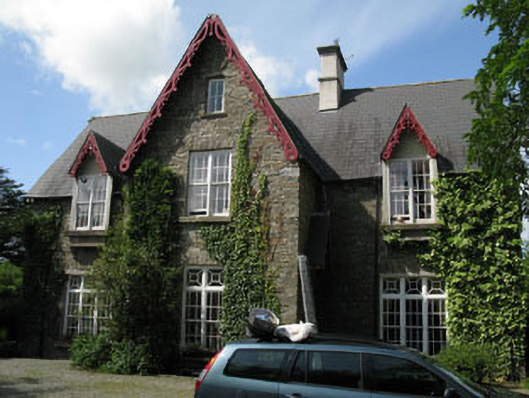 Kilcolman Parkhouse · 1282 yd
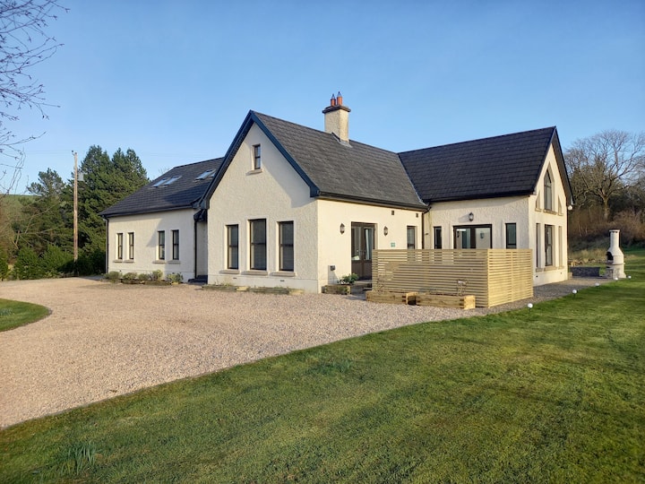 Country house in KilcolmanparkCountry house · 1293 yd
 Castle DerryCastle · 2.9 mi
 The GlenWood · 3.5 mi
 Cottage Road WoodWood · 3.7 mi
 Monteen Castle (in Ruins)Castle, tower house · 3.9 mi
 Graveyard in KilmalodaGraveyard · 4.2 mi
 Corran HillMountain / peak · 4.5 mi
 Argideen Valley trailVisitor information · 5.7 mi