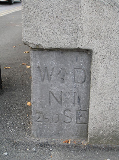
What is recorded here
Inset cut-limestone block, installed 1803, with inscribed benchmarks. Set in unpainted rendered boundary wall on a corner site.
A discrete feature in the streetscape of primary significance for the presence of inscribed benchmarks bearing the War Department monogram having associations with cartography and the preparation of maps at the nearby military barracks.
This does not grant access. Most recorded buildings are privately owned; view them only from public ground unless the owner allows entry.
Places near here
 Lenehanhouse · 38 yd
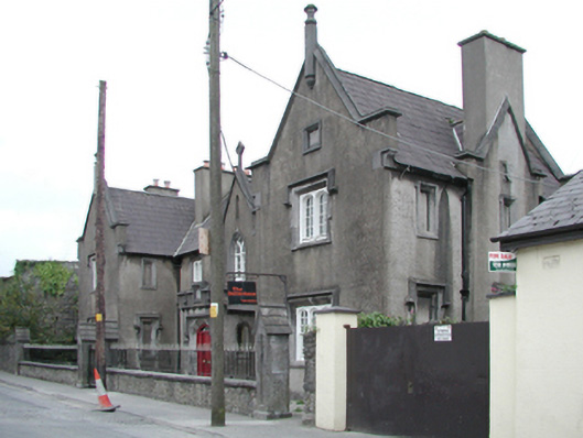 Ormonde Almshousealmshouse · 170 yd
 Stephens Barracks MuseumMuseum · 344 yd
 O'Loughlin Memorial ChurchMemorial · 364 yd
 KilkennyVisitor information · 404 yd
 Grave YardGraveyard · 420 yd
 Kilkenny World War I Memorial 1914-1918Memorial · 450 yd
 TombTomb, effigial · 467 yd
 Butler GalleryGallery · 482 yd
 Kilkenny County Council Car ParkVisitor information · 617 yd
 Black PoplarBlack Poplar · 665 yd
 Grace's Old CastleCastle · 686 yd
Other information
Photo: National Inventory of Architectural Heritage · Website use allowed for educational or private purposes with source credit