What is recorded here
Crannog is a house on water, and Lowry's Lough in Drumbee Beg kept one beneath its surface. The lough may have swallowed the island entirely, leaving only a shape in the mud and a name in memory. Whatever vanished there belongs to the chrome age of human life, when people built small worlds on wet ground and called them home.
The official Northern Ireland record identifies this as ISLAND, possibly CRANNOG in LOWRY'S LOUGH (submerged). Recorded period: E.CHRIST.. The official map point was placed at the centre of the recorded archaeological site from the source map reference.
The monument record does not grant public access. Check the route and ask the landowner before entering private land.
- What survives
- Recorded monument
Places near here
 Curving field boundariesCurving field boundaries, Possible site of large enclosure? · 1456 yd
 AP Cropmark: Possible large enclosure (prehistoric?) in AltaturkAP Cropmark: Possible large enclosure (prehistoric?) · 1.0 mi
 St.Mark's ChurchChurch · 1.9 mi
 Armagh GaolPrison · 1.9 mi
 Armagh Rail Disaster Memorial SculptureMemorial · 2.0 mi
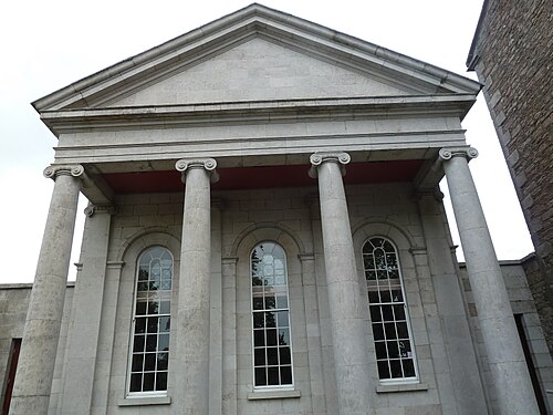 Armagh County MuseumMuseum · 2.1 mi
 Battle of the Yellow FordMajor battlefield · 2.1 mi
 Crimean CannonMemorial · 2.1 mi
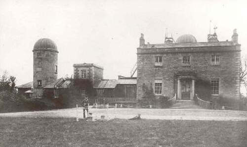 Armagh ObservatoryHistoric observatory · 2.2 mi
 Battle of ClontibretMajor battlefield · 2.3 mi
 Abbey StreetVisitor information · 2.4 mi
 Cannon HillViewpoint · 3.0 mi