What is recorded here
Crannog islands were ancient lake houses, and Drumkillen may hold one beneath its water still. The official record hedges its claim, but the name itself resists forgetting. A crannog is not a mistake of mapping; it is a village that chose the lake instead of the land. People stood on reed and timber, looked across open water, and called the middle of nowhere home.
The official Northern Ireland record identifies this as ISLAND, possibly CRANNOG. Recorded period: E.CHRIST.. The official map point was placed at the centre of the recorded archaeological site from the source map reference.
The monument record does not grant public access. Check the route and ask the landowner before entering private land.
- What survives
- Recorded monument
Places near here
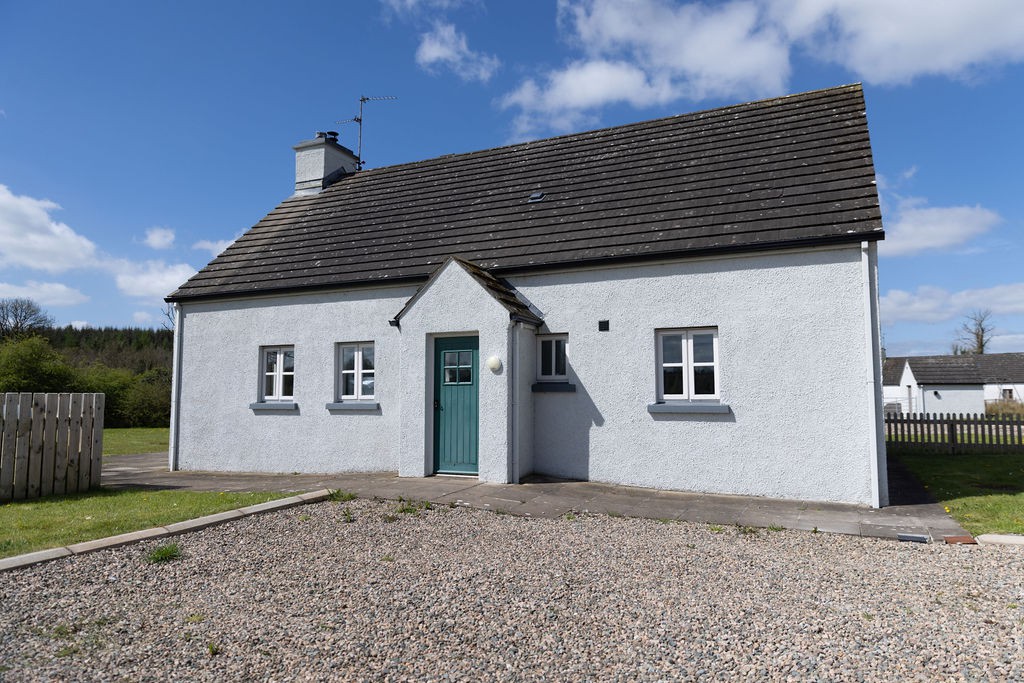 Gole WoodWood · 1485 yd
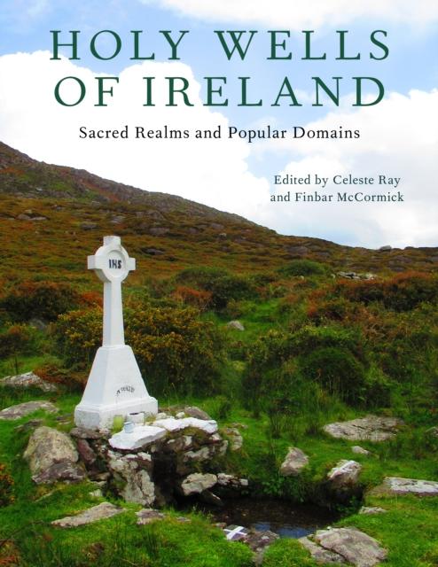 HOLY WELL in ReillyHOLY WELL · 1.0 mi
 Reilly WoodWood · 1.1 mi
 RECTANGULAR ENCLOSURE in RathfureRECTANGULAR ENCLOSURE · 1.4 mi
 Crehan IslandIsland · 1.5 mi
 Trasna IslandIsland · 1.6 mi
 FormilMountain / peak · 1.8 mi
 Lady Craigavon BridgeBridge · 1.9 mi
 Inisherk Trail, CromWalking route · 2.1 mi
 Summer HouseEstate Related Structures · 2.2 mi
 Turf HouseHeritage attraction · 2.3 mi
 Crom CastleCastle · 2.4 mi