What is recorded here
Crannog islands were ancient lake houses, and Annagarriff Lough may have hidden one beneath its reeds. The official record still calls it an island, leaving the true name uncertain but the shape clear: a small landmass rising from water where people may have lived, fled storms, or kept secrets. Derryhubbert East stands beside that lough still, carrying the possibility forward like a rumour refused by time.
The official Northern Ireland record identifies this as ISLAND, possibly CRANNOG in ANNAGARRIFF LOUGH. Recorded period: E.CHRIST.. The official map point was placed at the centre of the recorded archaeological site from the source map reference.
The monument record does not grant public access. Check the route and ask the landowner before entering private land.
- What survives
- Recorded monument
Places near here
 Lake Walk (Derryadd)Walking route · 1329 yd
 ENCLOSURE in TamlaghtmoreENCLOSURE · 1.9 mi
 Millennium MilepostVisitor information · 1.9 mi
 ENCLOSURE in DerrycorENCLOSURE · 2.0 mi
 Drumcrow ASSINature reserve · 2.5 mi
 Bond's BridgeBridge · 2.5 mi
 Tullyroan BridgeBridge · 2.8 mi
 Coney IslandIslet · 2.8 mi
 Washing BayBay · 3.3 mi
 Dan Winter's cottageHeritage attraction · 4.8 mi
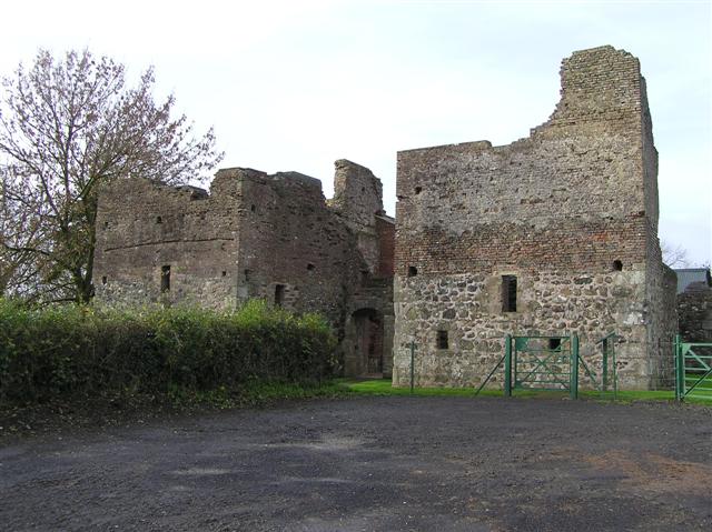 C17th CAMPAIGN FORT: MOUNTJOY CASTLE in Magheralamfield, MountjoyC17th CAMPAIGN FORT: MOUNTJOY CASTLE · 4.8 mi
 Mountjoy CastleRuins · 4.8 mi