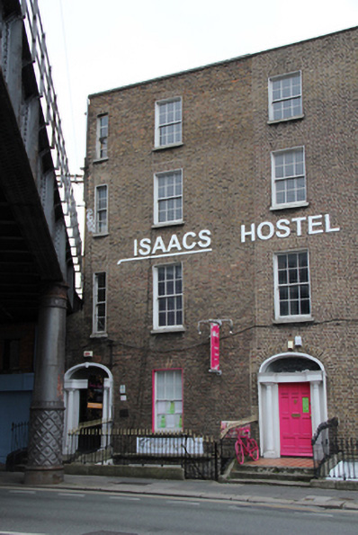
What is recorded here
End-of-terrace two-bay four-storey house over raised basement, built c.1820, now in use as hostel. M-profile pitched slate roof set behind brick parapet with squared granite coping. Rendered splayed gable elevation to north caused by insertion of Loop Line railway c.1888-9 which resulted in building being partially rebuilt from first floor up and windows nearest bridge reduced to narrow slits. Brown brick walls laid in Flemish bond having chamfered granite plinth course over exposed calp stone rubble wall to basement. Recent signage, 'Isaac Hotel', running across this and adjoining building to south between first and second floors. Diminishing square-headed window openings with gauged brick voussoirs, patent rendered reveals and granite sills. Openings to northern bay reduced during alterations, having replacement two-over-two pane timber sliding sash windows, historic replacement six-over-six pane elsewhere. Three-centred-arch door opening with gauged brick voussoirs, altered raised rendered surround and stone doorcase comprising engaged fluted Ionic columns surmounted by lintel with moulded cornice and original decorative webbed leaded fanlight. Original ten-panel timber door opening onto concrete platform bridging basement with two stone square-nosed steps leading onto concrete pavement edged with granite kerb and worn coal-hole covers. Original wrought-iron railing with cast-iron decorative finials on granite moulded plinths enclosing basement having matching pedestrian gate giving access to concrete stepped approach to flagged basement area with half-height steel service access door.
This unusually-proportioned building, located at the southeast end of Gardiner Street, although heavily altered, makes an important contribution to the streetscape. Its most prominent architectural feature is the adaptation, c.1888, of its front elevation and plan that occurred to accommodate the Loop line railway, resulting in the partial removal of the front corner and the removal a house where the bridge now stands. In the process of the installation of this railway bridge to link the north and south suburbs the engineers compromised the designed vista of the Custom House, as seen on the route from Mountjoy Square.
This does not grant access. Most recorded buildings are privately owned; view them only from public ground unless the owner allows entry.
Places near here
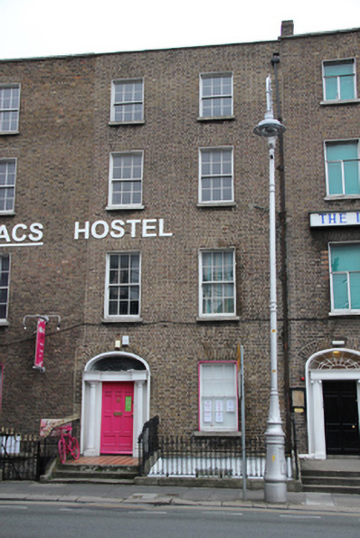 Isaac's Hostelhouse · 8 yd
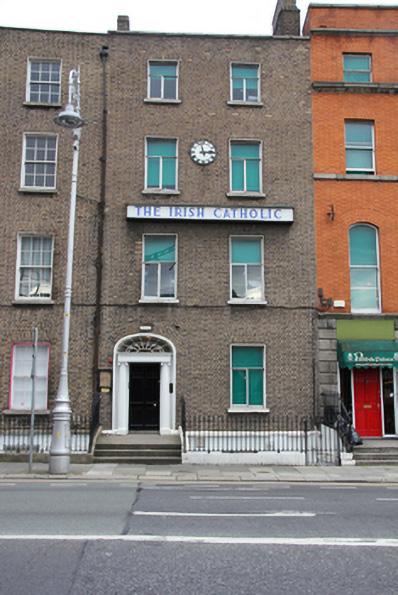 The Irish Catholichouse · 17 yd
 Indication parkingVisitor information · 125 yd
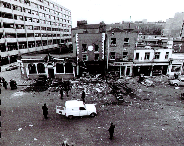 Dublin and Monaghan BombingsMemorial · 149 yd
 Burning of the Custom Housearmed conflict · 174 yd
 Custom House Visitor CentreHeritage attraction · 179 yd
 Spanish Civil War International BrigadeMemorial · 233 yd
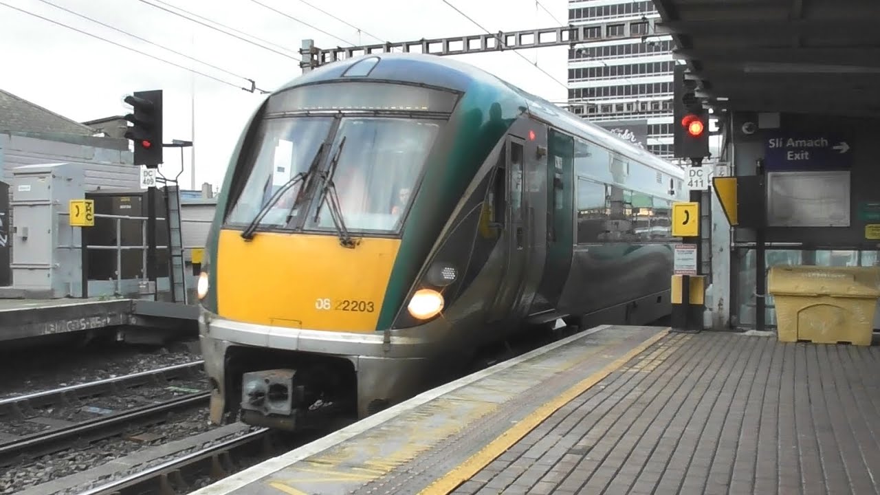 Irish Rail InformationVisitor information · 315 yd
 17 October UN International Day for the Eradication of PovertyMonument · 383 yd
 Burial in Unknown TownlandBurial · 422 yd
 EPIC The Irish Emigration MuseumMuseum · 454 yd
 Oriental planeOriental plane · 673 yd
Other information
Photo: National Inventory of Architectural Heritage · Website use allowed for educational or private purposes with source credit