What is recorded here
No credible facts exist for IRON MINES? in Linford. The name may be a mapping error, an abandoned claim or a joke entered by a tired clerk. Linford itself has real fields, roads and people, but the iron mines remain an empty suggestion rather than a known place.
The official Northern Ireland record identifies this as IRON MINES?. Recorded period: UNCERTAIN. The official map point was placed at the centre of the recorded archaeological site from the source map reference.
The monument record does not grant public access. Check the route and ask the landowner before entering private land.
- What survives
- Recorded monument
Places near here
 ENCLOSURE in LinfordENCLOSURE · 873 yd
 A.P. SITEA.P. SITE, rectangular enclosure · 1210 yd
 BallycoosMountain / peak · 1341 yd
 Craigy HillMountain / peak · 1.1 mi
 Ballygally CastleHeritage attraction · 2.6 mi
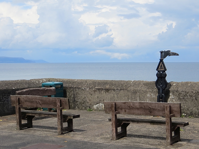 Millennium MilepostVisitor information · 2.7 mi
 Garden TrailWalking route · 3.2 mi
 CairncastleRuins · 3.2 mi
 Ballygalley HeadCliff · 3.3 mi
 Hillmount HouseCastle · 3.7 mi
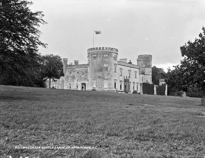 TOWER-HOUSE & BAWN: KILWAUGHTER CASTLE in DemesneTOWER-HOUSE & BAWN: KILWAUGHTER CASTLE · 3.8 mi
 Glenarm ForestForest · 3.9 mi