What is recorded here
Fanore More holds an industrial site in County Clare, though the details remain hidden from public view. The land may have served local trade, produced goods or supported the port, yet the absence of a clear record denies that history to everyone but a few appointment-only visitors. Forgetting is not neutrality; it is a choice.
The Archaeological Survey of Ireland (ASI) is in the process of providing information on all monuments on The Historic Environment Viewer (HEV). Currently the information for this record has not been uploaded. To access available information for research purposes please make an appointment in advance with the Archive Unit (open Fridays 10.00 am – 5.00 pm), Department of Housing, Local Government and Heritage, The Custom House, Dublin 1 D01W6XO or email NMarchive@housing.gov.ie.
The monument record does not grant public access. Check the route and ask the landowner before entering private land.
- What survives
- Recorded monument
Places near here
 garda station/constabulary barracksgarda station/constabulary barracks · 252 yd
 IndicatedFairy fort / stone ringfort · 322 yd
 Fanore Bridgebridge · 331 yd
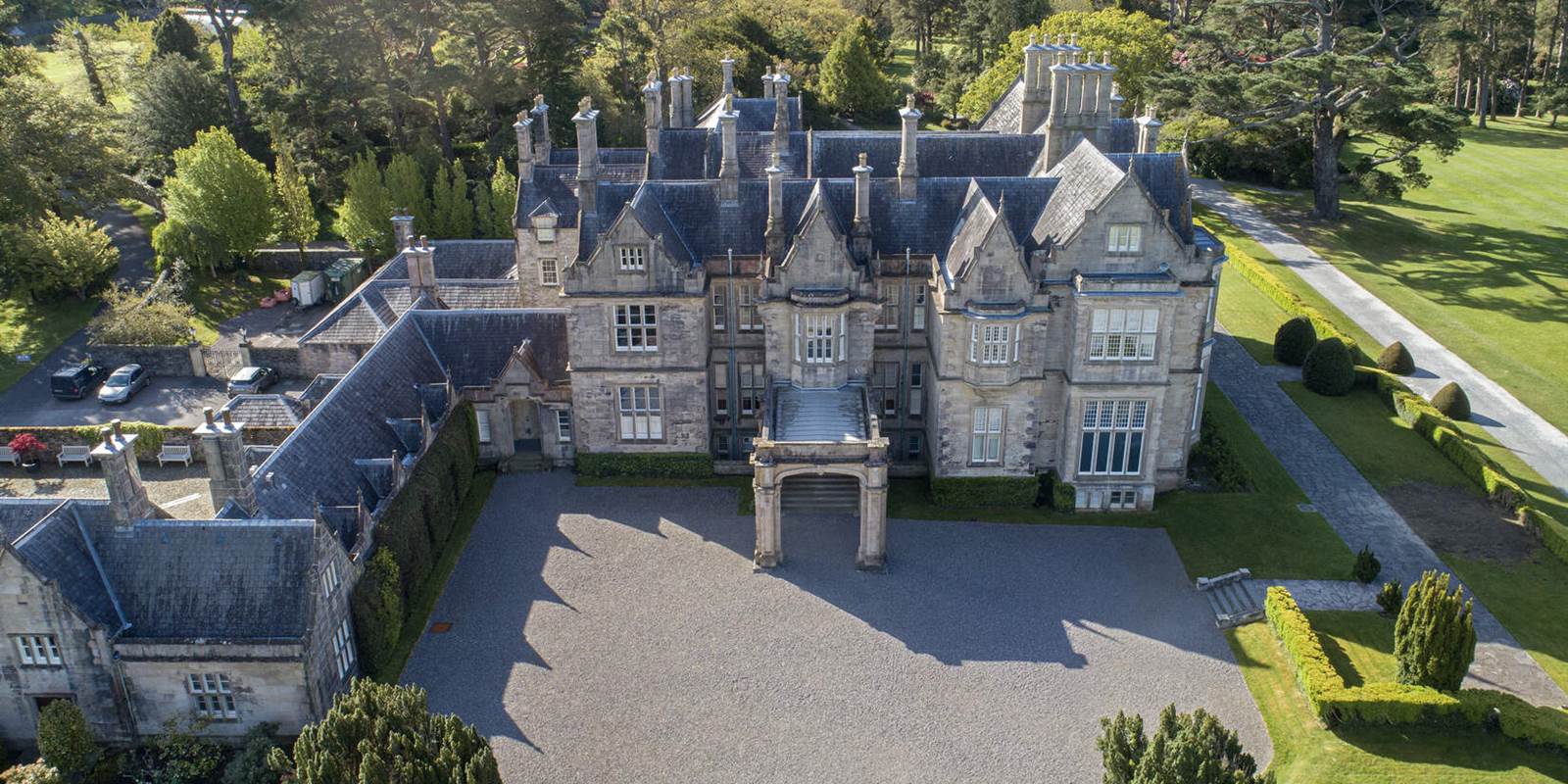 Enclosure in MurrooghkillyEnclosure · 892 yd
 Fanore BeachBeach / strand · 1146 yd
 Faunarooska Castle (in ruins)Castle, tower house · 2.1 mi
 Black HeadHeadland · 2.2 mi
 FaunarooskaCave · 2.6 mi
 Slieve ElvaMountain / peak · 2.7 mi
 PollbailinyCave · 2.7 mi
 Gleninagh CastleCastle · 3.0 mi
 CappanawallaMountain / peak · 3.2 mi