What is recorded here
Situated on pasture-land with old laneway immediately to E and ringfort (WM006-006----)150m to E. Annotated as ‘fort’ on the 1837 OS Fair Plan map and depicted as a small hachured circular earthwork or mound on the 1837 ed. OS 6-inch map, but not marked on subsequent editions of the OS maps. Not visible at ground level, and no cropmark of earthwork visible on Digital Globe aerial photographs taken November 2011.
Compiled by: Frank Coyne & Caimin O'Brien
Date of upload: 13 December 2016
The monument record does not grant public access. Check the route and ask the landowner before entering private land.
- What survives
- Recorded monument
Places near here
 IndicatedFairy fort / earthen ringfort · 218 yd
 Partially hachuredFairy fort / earthen ringfort · 410 yd
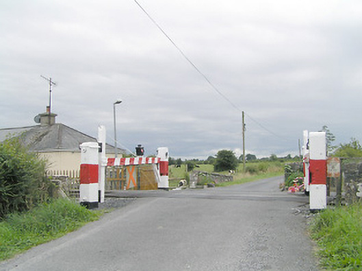 level crossinglevel crossing · 846 yd
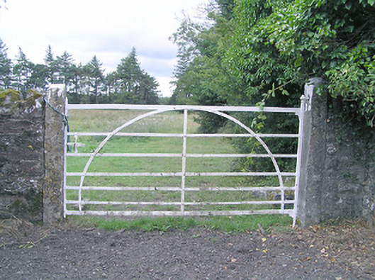 gates/railings/wallsgates/railings/walls · 1256 yd
 Silver FirSilver Fir · 1466 yd
 CastleCastle, motte · 1.4 mi
 Sweet ChestnutSweet Chestnut · 2.0 mi
 MoatCastle, motte and bailey · 2.1 mi
 Edgeworthstown BypassMemorial · 3.3 mi
 Granard MotteMotte-and-bailey castle remains · 7.5 mi
 1798 Monumentmonument · 7.5 mi
 Bully's Acregraveyard/cemetery, unknown · 8.8 mi