What is recorded here
Rectangular shaped graveyard (map dims. L 72m; Wth 30m) with remains of late medieval church (LH024-001001-) in SW half. Four holy water stoups (LH024-001002-, LH024-001004-, LH024-001005-, LH024-001006-) probably late medieval in date, located here, close to the Catholic church. Eight 18th century headstones recorded when inspected by ASI in 1967, the earliest of which dates to 1719 and is dedicated to James Branagan.
Compiled by: Claire Breen
Date of upload: 24 August 2012
The monument record does not grant public access. Check the route and ask the landowner before entering private land.
- What survives
- Recorded monument
Places near here
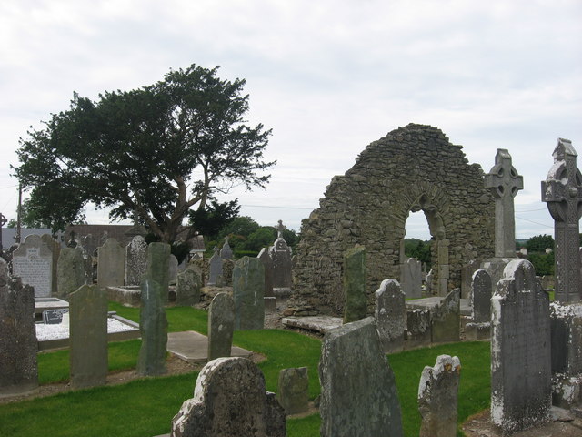 Church (in Ruins)Church · 12 yd
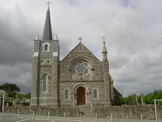 Catholic Church of Our Lady of the Assumptionchurch/chapel · 43 yd
 Enclosure in TullyallenEnclosure · 398 yd
 Battle of the Boyne Visitor CentreMuseum · 1492 yd
 Man-made underground passage in MellMan-made underground passage · 1505 yd
 Battle of the BoyneMajor battlefield · 1536 yd
 European YewEuropean Yew · 1732 yd
 Grove IslandIslet · 1753 yd
 Quarry Garden WoodForest · 1.1 mi
 Yellow IslandIslet · 1.3 mi
 Proudfootstown CastleCastle, unclassified · 1.5 mi
 Drummond TowerCastle · 2.0 mi