
What is recorded here
Raised circular area (int. diam. 28.6m) enclosed by a low earthen bank and a narrow, shallow, infilled fosse surrounded by a low counterscarp bank at SW. A series of largely grassed-over boulders are visible in the bank at N and a low field-clearance cairn of stones lies within the internal area. Original entrance not recognisable.
The above description is derived from the published 'Archaeological Inventory of County Cavan' (Dublin: Stationery Office, 1995). In certain instances the entries have been revised and updated in the light of recent research.
Date of upload/revision: 22 December 2008
The monument record does not grant public access. Check the route and ask the landowner before entering private land.
- What survives
- Recorded monument
Places near here
 Corratober UpperMountain / peak · 805 yd
 Enclosure in Cashel (tullyhaw By.)Enclosure · 1242 yd
 CarrickbrannanMountain / peak · 1513 yd
 Enclosure in CorrahoashEnclosure · 1531 yd
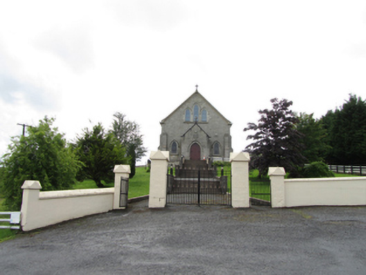 Church of the Immaculate Conceptionchurch/chapel · 1581 yd
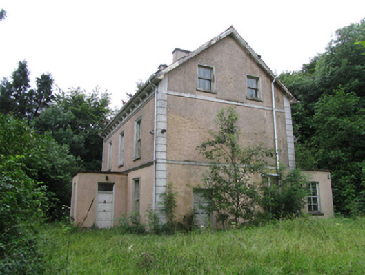 Corrard Househouse · 1.0 mi
 TobermurrySpring · 1.1 mi
 Corrard ForestForest · 1.2 mi
 Republican Garden of RemembranceMemorial · 2.0 mi
 PlaygroudCliff · 2.3 mi
 CarrignahastaCliff · 2.9 mi
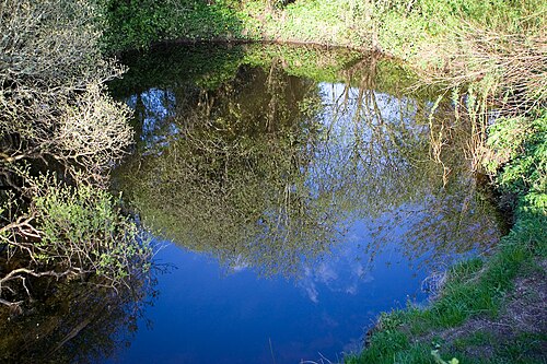 Shannon PotSpring · 3.1 mi
Other information
Photo: Credit not shown in the picture search · Rights wording not checked; contact us if this picture should be removed