What is recorded here
Indicated is a circular earthen fort on a Mayo ridge, overlooking broad lowlands and hiding an underground passage beneath its grassy centre. Cattle might have grazed above while people walked below, using the hidden tunnel to move through the landscape when storms or enemies closed the fields. The fort still stands at the edge of visibility, remembered through a name rather than a story, waiting for someone to point at it and say that it is real.
In pasture, located on a level terrace at the top of the steep SE-facing slope of a ridge, with extensive views over a broad sweep of lowlands at N−SE. There is a gently rise to W-SW towards the ridge summit.
Roughly circular platform (29.3m N−S; 27m E−W) defined by a scarp (H 1m at W, 1.4m at E; Wth slope 0.9m at W, 1.8m at E). The scarp retains a slight internal lip on the S arc. At W the scarp is cut to the vertical –this may have been done during the construction of a N-S field fence that lies immediately to W. At N−NE the scarp has been modified to serve as a field fence and is topped by a post-and-wire fence. There are narrow breaks/eroded areas (Wth 1m) at NNW and SSW, and a slightly broader slumped section (Wth 2m) of the scarp at NE, which faces a more gradually slope of the ridge.
There is a slight slope down from centre towards the NE and E; this gives the W half/centre of the interior a level, elevated appearance, and is where a Man-made underground passage (MA071-059002-) is located.
The rath is lightly ringed with gorse, hawthorn trees and brambles; the interior is grassy.
Compiled by: Jane O’Shaughnessy
Date of upload: 30 July 2021
The monument record does not grant public access. Check the route and ask the landowner before entering private land.
- What survives
- Recorded monument
Places near here
 Enclosure in JohnsfortEnclosure · 676 yd
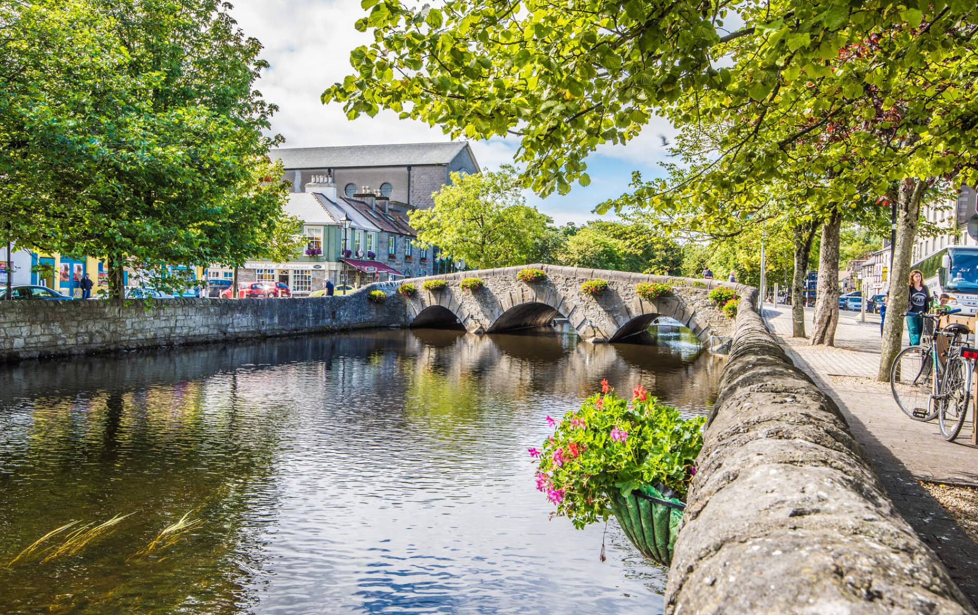 IndicatedFairy fort / earthen ringfort · 1022 yd
 Lislackagh National Schoolschool · 1696 yd
 bridgebridge · 1715 yd
 Thorn CaveCave · 1.3 mi
 Brabazon WoodsForest · 2.1 mi
 Youth Memorial GardenMemorial · 2.2 mi
 Procession Of The SoulsMemorial · 2.4 mi
 HawthornHawthorn · 4.1 mi
 Castle (in Ruins)Castle, unclassified · 4.2 mi
 Hennigan's Heritage CentreHeritage attraction · 4.3 mi
 Castle in ruinsCastle, tower house · 4.5 mi