What is recorded here
Indicated is a levelled fairy fort on a Mayo ridge, its circular outline still visible beneath pasture and a cut farm road. The broad sweep of countryside stretches south and west from the top, while the restricted views east and west suggest a place meant to face the open distance rather than hide. A second rath waits further along the ridge, as if the land kept repeating the same shape until people stopped noticing it.
In pasture, located on the top of an E−W ridge, close to the S−SW side where the slope falls steeply, giving extensive views to SSE−SW over a broad sweep of countryside. There are somewhat restricted views to W and ENE along the broad undulating top of the ridge.
A circular embanked enclosure is shown on the 1838 OS 6-inch map, crossed roughly centrally by a N−S field fence; by the time of the 1931 edition, only the W half of the rath is shown.
It has been levelled, but ephemeral outline of a very slightly raised roughly circular area (c. 36.4m N–S; c. 43.5m E–W) is still evident. A broadly levelled scarp can be traced on the S arc but is barely discernible on the N arc. A sunken farm road (W 3.6m; (D 1.5m) with vertical stone-faced sides cuts through the centre of the rath.
There is another rath (MA071-114----) 175m to ENE.
Compiled by: Jane O’Shaughnessy
Date of upload: 24 August 2021
The monument record does not grant public access. Check the route and ask the landowner before entering private land.
- What survives
- Recorded monument
Places near here
 Enclosure in JohnsfortEnclosure · 491 yd
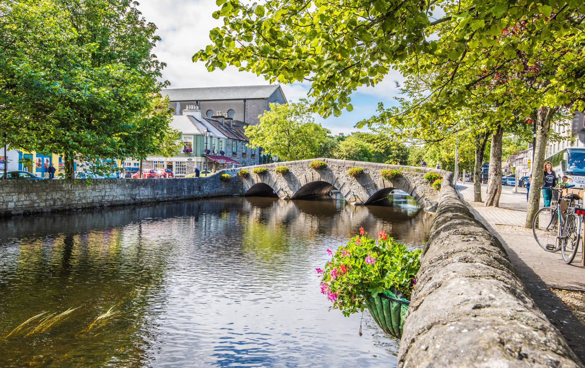 IndicatedFairy fort / earthen ringfort · 880 yd
 bridgebridge · 1466 yd
 Thorn CaveCave · 1.0 mi
 Lislackagh National Schoolschool · 1.1 mi
 Brabazon WoodsForest · 2.3 mi
 Youth Memorial GardenMemorial · 2.4 mi
 Procession Of The SoulsMemorial · 2.6 mi
 HawthornHawthorn · 4.3 mi
 Castle (in Ruins)Castle, unclassified · 4.4 mi
 Kiltimagh MuseumMuseum · 4.4 mi
 Castle in ruinsCastle, tower house · 4.4 mi