
What is recorded here
Indicated is a ruined cashel in County Galway, Ireland. Its collapsed wall and cutting field marks suggest people shaped the slope before memory faded. The stones still outline a circle, waiting for someone to walk inside and imagine the lives that turned it into a home.
On a W-facing slope. Poorly preserved almost circular cashel (D 30m) defined by a collapsed drystone wall. A field wall cuts the monument at NNW and SSE, to SW of which a scarp forms the enclosing element. A number of houses (GA057-154001-) are associated.
The above description is derived from the published 'Archaeological Inventory of County Galway Vol. II - North Galway'. Compiled by Olive Alcock, Kathy de hÓra and Paul Gosling (Dublin: Stationery Office, 1999).
Date of upload: 05 August 2010
The monument record does not grant public access. Check the route and ask the landowner before entering private land.
- What survives
- Recorded monument
Places near here
 Church in AucloggeenChurch · 1292 yd
 Megalithic structure in BolisheenMegalithic structure · 1.1 mi
 Enclosure in TurloughgarveEnclosure · 1.1 mi
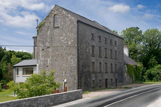 Cregg Millsmill (water) · 1.5 mi
 Cregg Castle DemesneForest · 1.6 mi
 Cregboyne FortBawn · 1.8 mi
 Drumgriffin Castle (in ruins)Castle, unclassified · 2.0 mi
 European BeechEuropean Beech · 3.3 mi
 Kilcoona Round TowerHeritage attraction · 4.2 mi
 Ballinduff BayBay · 4.4 mi
 Oileán an AoilIsland · 6.0 mi
 Oileán an BhreathnaighIslet · 6.1 mi
Other information
Photo: Credit not shown in the picture search · Rights wording not checked; contact us if this picture should be removed