What is recorded here
In pasture, located on a W-facing slope. This enclosure was recorded in 1990 as follows: 'In area of outcrop with dense scrub. Oval-shaped area (33m N-S; 26m E-W), enclosed by poor remains of earthen bank (H 0.3m); containing much stone on the W and overlain on E by stone field fence.' (Lavelle 1994, 65, no. 488). The enclosure has since been levelled during land reclamation. A slightly raised sub-circular area (diam c. 27m) is still visible, planted with conifers (pers. comm. Richard Crumlish 2010).
Compiled by: Jane O'Shaughnessy
Date of upload: 19 December 2013
The monument record does not grant public access. Check the route and ask the landowner before entering private land.
- What survives
- Recorded monument
Places near here
 IndicatedEnclosure · 740 yd
 Chapel in ruinsChurch · 1129 yd
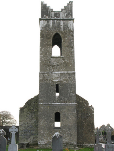 Neale Church (Ballinchalla-Kilmolara)church/chapel · 1193 yd
 The Gods of the Neale MonumentMonument · 1400 yd
 Castle in ruinsCastle, tower house · 1451 yd
 LabbadermotCave · 2.0 mi
 European ashEuropean ash · 2.2 mi
 CastleCastle, unclassified · 2.4 mi
 Long IslandIslet · 3.3 mi
 Shrub IslandIslet · 3.5 mi
 Quiet Man MuseumMuseum · 4.1 mi
 Cong AbbeyHeritage attraction · 4.1 mi