What is recorded here
On a slight S-facing slope in pasture with views of the SE slopes of the Slieve Aughty Mountains to the W. Indicted with a single line of hachures on the 1840 OS 6-inch map as a circular area (diam. c. 43m). On the 1916 edition only the S half is indicated. According to local information the remaining portion of the site was levelled c. 1945/6 during land reclamation in the area. On inspection in 1999 there were no visible remains at ground level.
Compiled by: Mary Tunney
Date of upload: 19 November 2025
The monument record does not grant public access. Check the route and ask the landowner before entering private land.
- What survives
- Recorded monument
Places near here
 Manuss Castle (in Ruins)Castle, unclassified · 1.1 mi
 church/chapelchurch/chapel · 1.6 mi
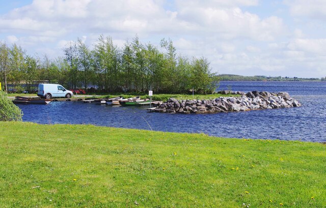 Lough DergNationally known place · 1.9 mi
 Mass-rock in ClonrushMass-rock · 1.9 mi
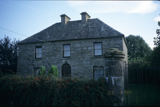 garda station/constabulary barracksgarda station/constabulary barracks · 1.9 mi
 Bunlahy BayBay · 2.0 mi
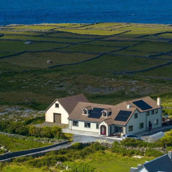 Dog IslandIslet · 2.3 mi
 Inishdala IslandsIslet · 2.3 mi
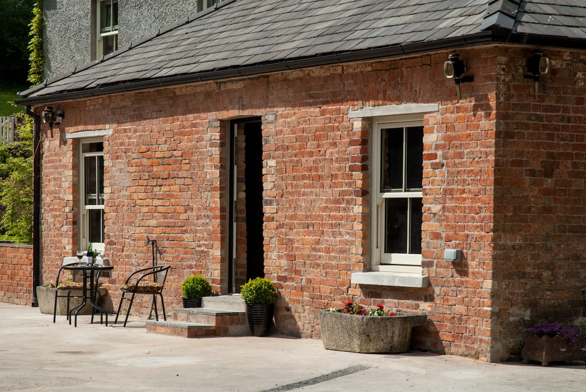 Enclosure in BallyhinchEnclosure · 2.3 mi
 Coose BayBay · 2.4 mi
 Castle (Site of)Castle, unclassified · 2.4 mi
 Carrickboy WoodForest · 3.9 mi