What is recorded here
Indicated is a fairy fort on a Mayo rise, its shallow scarp still standing after centuries of grass and forgetting. The land around it holds three other raths within a short walk, suggesting a whole hidden neighbourhood rather than a lonely marker. People may have lived inside the circle before becoming legend, their doors erased by pasture and time.
In good pasture, located on a prominent rise, which provides good views of the surrounding grassland. At W the slope drops to a stream/drain which curves around the base of the rise at S−NW.
Raised circular area (27.8m E-W; 29.8m N-S) defined by a scarp (H 0.9m at S, 2m at N). The scarp is steepest and most pronounced at W–NNE. It is lowest at E–S, which is the most likely area for an original entrance, although no clearly defined entrance feature is evident. At the W edge of the interior, adjacent to the scarp, there is a narrow, elongated depression (12m N-S; 2-3m E-W; max. D 1.1m), irregular in width and depth, which appears to be the result of quarrying/disturbance. There is a rath (MA062-036----) 200m to NW, a rath (MA062-140----) 330m to NNW, and another (MA062-037----) 330m to NE.
Compiled by: Jane O’Shaughnessy
Date of upload: 25 November 2020
The monument record does not grant public access. Check the route and ask the landowner before entering private land.
- What survives
- Recorded monument
Places near here
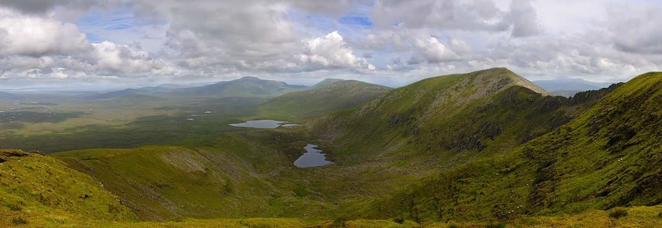 IndicatedFairy fort / earthen ringfort · 273 yd
 Enclosure in LagcurraghEnclosure · 565 yd
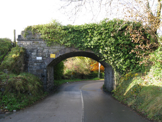 bridgebridge · 705 yd
 Procession Of The SoulsMemorial · 724 yd
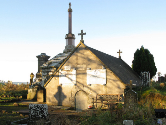 mausoleummausoleum · 729 yd
 Youth Memorial GardenMemorial · 967 yd
 Brabazon WoodsForest · 1316 yd
 HawthornHawthorn · 1.9 mi
 Castle (in Ruins)Castle, unclassified · 2.2 mi
 Hennigan's Heritage CentreHeritage attraction · 2.3 mi
 Thorn CaveCave · 4.0 mi
 Kiltimagh MuseumMuseum · 7.3 mi