What is recorded here
In pasture, located on a high hill affording panoramic views in all directions. The River Moy is 100m to E. The circular round topped summit of the hill (diam. 62.7m) is delimited by an artificial scarp (H 1m at WNW, 2.4m at E). The scarp has been incorporated into a field boundary at N−NE and SSE−WSW. The ground level rises from the perimeter to the centre where there is a mound (MA060-040001-).
Compiled by: Jane O’Shaughnessy and Paddy O'Donovan
Date of upload: 7 December 2017
The monument record does not grant public access. Check the route and ask the landowner before entering private land.
- What survives
- Recorded monument
Places near here
 IndicatedFairy fort / earthen ringfort · 682 yd
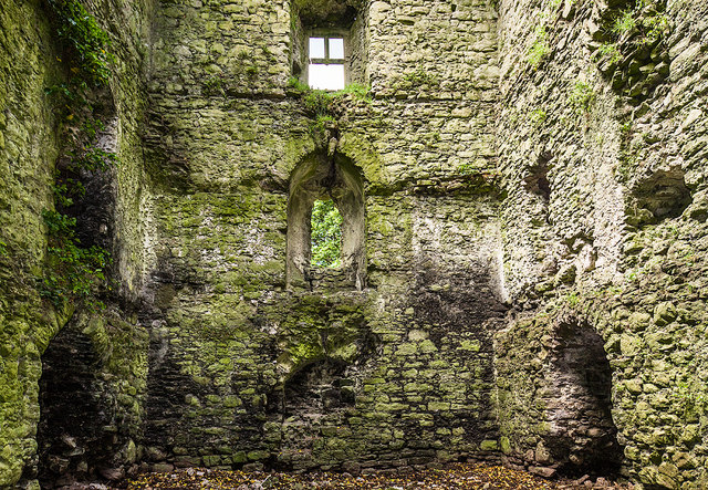 Castle in ruinsCastle, tower house · 1420 yd
 Ballylahan Castle in RuinsCastle, Anglo-Norman masonry castle · 1422 yd
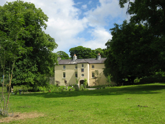 Cloongee Househouse · 1457 yd
 Cloongee National Schoolschool · 1.2 mi
 Michael DavittMemorial · 1.3 mi
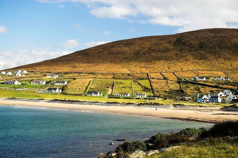 InidcatedFairy fort / earthen ringfort · 1.4 mi
 Admiral William BrownMemorial · 2.9 mi
 Foxford Woollen MillsHeritage attraction · 2.9 mi
 Drummin ForestForest · 3.6 mi
 Lough CullinViewpoint · 3.7 mi
 Cliff IslandIslet · 4.7 mi