
What is recorded here
Situated on a rise in an undulating landscape with rock outcrop. It is depicted as a circular embanked enclosure (ext. diam. c. 35m) on the 1834 edition of the OS 6-inch map where it is described in gothic lettering as a ‘fort’, and as a curve of a field bank (Chord c. 30m E-W) W-NE that is bisected by a NW-SE field boundary on the 1907 edition. The 1907 map also has a misleading curved feature extending N and E from its E edge. A slight curve in a field wall with bushes and spoil built on top of a scarp survives N-E in a field bank.
The above description is derived from the published 'Archaeological Inventory of County Monaghan' (Dublin: Stationery Office, 1986). In certain instances the entries have been revised and updated in the light of recent research.
Date of revision: 28 Monaghan 2017
The monument record does not grant public access. Check the route and ask the landowner before entering private land.
- What survives
- Recorded monument
Places near here
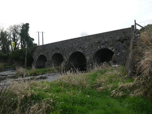 Magoney Bridgebridge · 796 yd
 bridgebridge · 1067 yd
 Enclosure in ColgaghEnclosure · 1320 yd
 Grave Yd.Graveyard · 1608 yd
 Mannan Castle (in ruins)Castle, Anglo-Norman masonry castle · 3.4 mi
 KnockreaghMountain / peak · 3.6 mi
 CastleCastle, unclassified · 4.3 mi
 TobernagalliaghSpring · 4.4 mi
 Battle of Newry Roadbattle · 4.5 mi
 MEDIEVAL & POST-MED. CHURCH & GRAVEYARD in Creggan Bane GlebeMEDIEVAL & POST-MED. CHURCH & GRAVEYARD · 4.6 mi
 Horse-chestnutHorse-chestnut · 5.5 mi
 Ballsmill Amenity LandPicnic place · 5.7 mi
Other information
Photo: Credit not shown in the picture search · Rights wording not checked; contact us if this picture should be removed