What is recorded here
Indicated is a walled graveyard above the Stillorgan and Merville Road junction, preserving a medieval church linked to the Priory of the Holy Trinity. Its curving boundary may mark an older ecclesiastical enclosure, while eighteen- and nineteenth-century memorials rise toward the 1712 Church of Ireland building. The place keeps time in layers: medieval faith, local death, and ordinary Dublin life compressed into one small rising ground.
Situated in an urban site to the N of the junction of Stillorgan Road and Merville Road. A walled graveyard the interior level rises above street level to the location of the present Church of Ireland church (dated 1712). The memorials are 18th and 19th century in date. The graveyard wall encloses the site of a medieval church (DU023-011001-) associated in the 13th century with the Priory of the Holy Trinity (Turner 1983, 59). The curving plan of the present walled-in graveyard (DU023-011002-) indicates the possible existence of an early ecclesiastical enclosure (DU023-011004-).
Complied by: Geraldine Stout and Padraig Clancy
Revised upload on: 22, May, 2018
A Neolithic passage tomb; its presence indicates early settlement and ritual activity in the Stillorgan area. The tomb's survival beneath a later church and graveyard highlights the continuity of sacred or significant sites through different historical periods.
The monument record does not grant public access. Check the route and ask the landowner before entering private land.
- What survives
- Recorded monument
Places near here
 Church in Stillorgan SouthChurch · 31 yd
 Darleys WellWell · 105 yd
 St. John of GodVisitor information · 237 yd
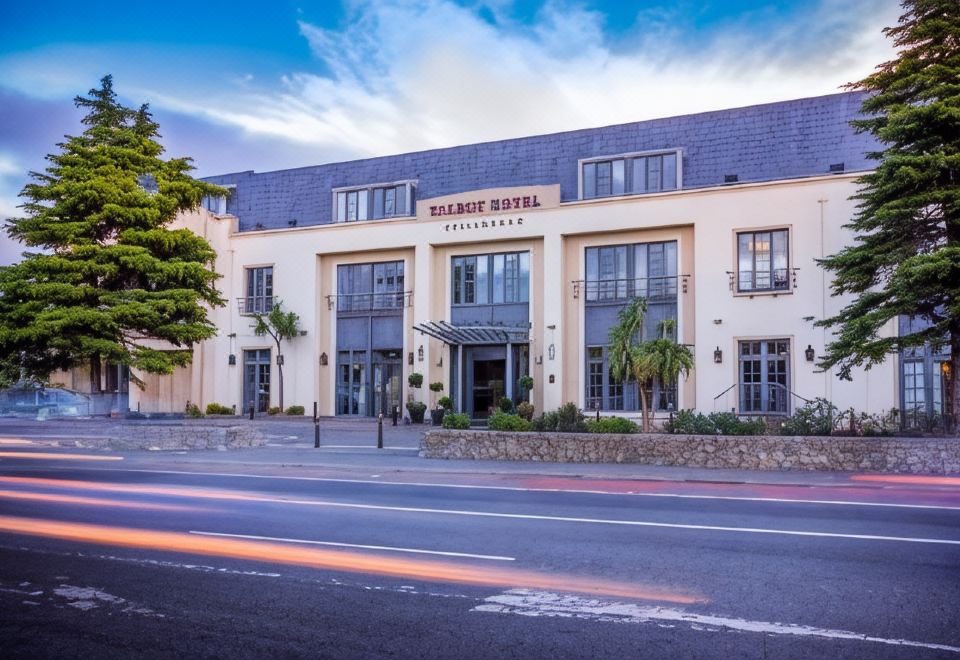 Stillorgan CastleCastle, unclassified · 265 yd
 IndicatedHouse, medieval · 476 yd
 Leopardstown Standing StoneArchaeological place · 688 yd
 CastleCastle, unclassified · 1020 yd
 School NoticesVisitor information · 1506 yd
 Monterey CypressMonterey Cypress · 1.0 mi
 Silver BirchSilver Birch · 1.0 mi
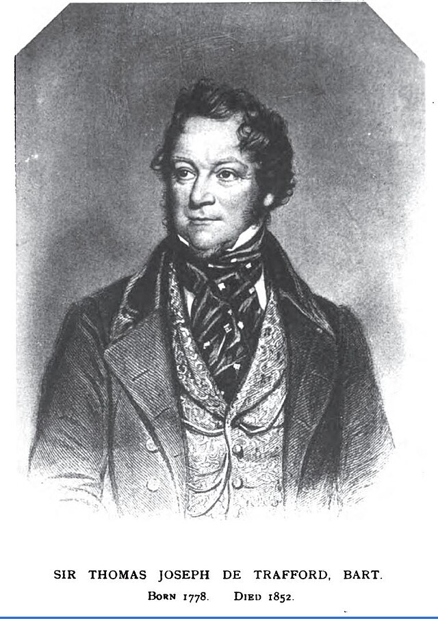 Thomas Joseph Smith (Sudocrem)Heritage attraction · 1.1 mi
 Sean LemassHeritage attraction · 1.1 mi