What is recorded here
On a slight rise in pastureland. On inspection in May 1983, this poorly preserved circular barrow (diam. 19m) was defined by a low bank (H 0.5m above field level) with indistinct edges. Its centre was dished and was one metre below the top of the bank. On a re-inspection in April 2010, it was noted that an ESB pole had been erected at the NW limits of the site.
Compiled by: Galway Archaeological Survey, UCG
Date of upload: 16 August 2019
The monument record does not grant public access. Check the route and ask the landowner before entering private land.
- What survives
- Recorded monument
Places near here
 IndicatedFairy fort / earthen ringfort · 540 yd
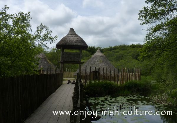 Crannog in Ballinlough (leitrim By.)Crannog · 851 yd
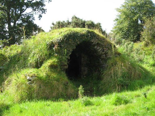 Marble Hillicehouse · 1030 yd
 Country house in MarblehillCountry house · 1337 yd
 Coolfin Castle (in ruins)Castle, tower house · 3.9 mi
 Site of CastleCastle, unclassified · 4.3 mi
 TullymoreMountain / peak · 4.5 mi
 Oak WoodForest · 5.3 mi
 Maguire SistersMemorial · 5.4 mi
 Bog WoodForest · 5.5 mi
 Friar's IslandIslet · 6.9 mi
 Abbey IslandIslet · 6.9 mi