What is recorded here
Indicated is a vanished fairy fort at the south-east end of a long Cavan drumlin, erased before modern cameras but still named on nineteenth-century maps. The ridge may have hosted a human ringfort, a boundary marker, or a childhood legend about spirits dwelling beneath ordinary soil. Forgetting the fort does not undo the shape of the land; it only removes one of its names.
Marked 'Fort' on OS 1836 and 1876 eds. Situated at the SSE end of a long, broad drumlin ridge orientated NNW-SSE. Site has been levelled.
The above description is derived from the published 'Archaeological Inventory of County Cavan' (Dublin: Stationery Office, 1995). In certain instances the entries have been revised and updated in the light of recent research.
Date of upload/revision: 22 December 2008
The monument record does not grant public access. Check the route and ask the landowner before entering private land.
- What survives
- Recorded monument
Places near here
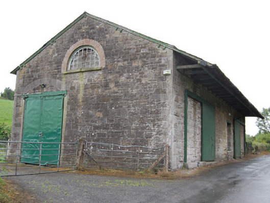 goods shedgoods shed · 218 yd
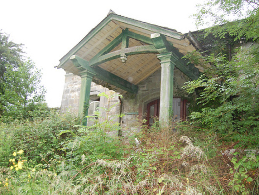 Crossdoney Railway Stationrailway station · 260 yd
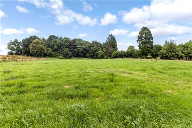 Drumbar ForestForest · 514 yd
 Coolnacarrick ForestForest · 735 yd
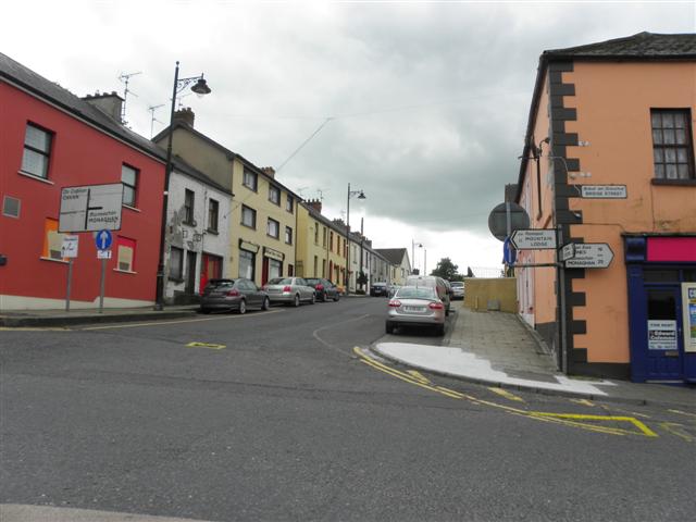 IndicatedFairy fort / earthen ringfort · 981 yd
 Captain Thomas Sheridan IRAMonument · 1055 yd
 Lismore CastleCastle, unclassified · 1108 yd
 Castle CosbyCastle, unclassified · 1519 yd
 BellvilleMountain / peak · 1731 yd
 DrumcarbanMountain / peak · 1.0 mi
 Cornafean GFCMemorial · 2.6 mi
 Red IslandIslet · 2.9 mi