What is recorded here
In pasture below crest of hillock. Sub-rectangular area (24.2m NE-SW; 20.3m NW-SE) enclosed by earthen bank (H 1.6m). Breaks in bank at SW (Wth 1.8m) and NW (Wth 1.6m). Interior level.
The above description is derived from the published 'Archaeological Inventory of County Cork. Volume 1: West Cork' (Dublin: Stationery Office, 1992). In certain instances the entries have been revised and updated in the light of recent research.
Date of upload/revision: 14 January 2009
The monument record does not grant public access. Check the route and ask the landowner before entering private land.
- What survives
- Recorded monument
Places near here
 Port a’ DúnaRuins · 264 yd
 Tobar an ImeSpring · 486 yd
 The SpringSpring · 727 yd
 Cnocán na LeanbhArchaeological place · 898 yd
 Kill Burial Gd (Disused)Burial ground · 1049 yd
 Sandy CoveBeach / strand · 1345 yd
 Faill ÁrdCliff · 1398 yd
 Carraigín Na SúlViewpoint · 1452 yd
 Carraig a' ShleáinMountain / peak · 1.0 mi
 Tráigh na nDabhchaBeach / strand · 1.1 mi
 Scullane PointHeadland · 1.1 mi
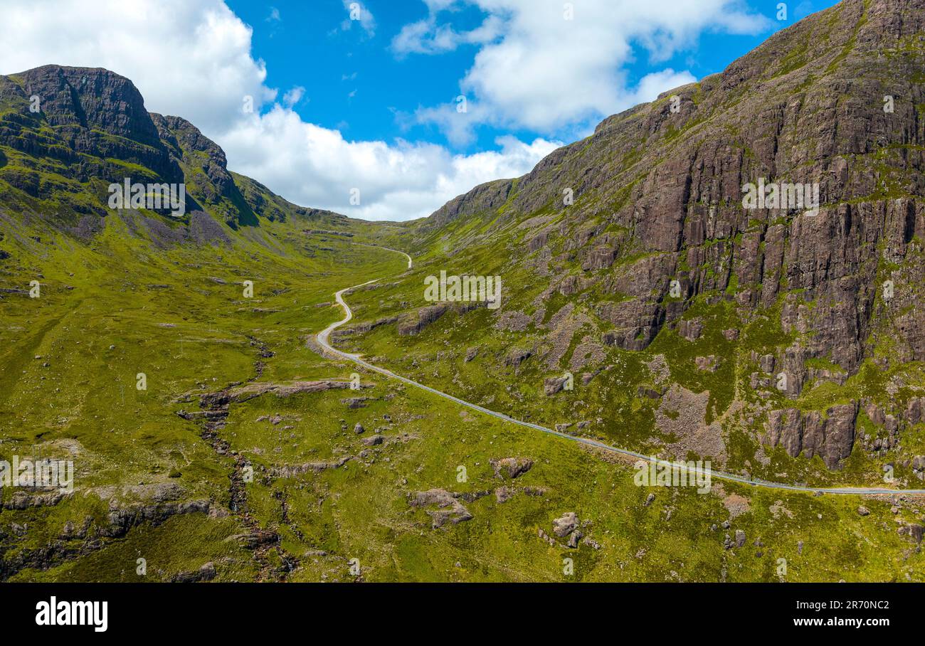 Bealach (pass)Viewpoint · 1.1 mi