What is recorded here
Indicated is a circular earthen fort in County Cork, Ireland, where a shallow external fosse still frames the pasture. Its bank rises fourteen hands high and faces south, catching light before the valley wakes. People may have lived inside that ring, marked boundaries or simply repeated an old shape without understanding why. The stones do not explain themselves; they wait for someone sturdy enough to ask.
In pasture, on S-facing slope. Circular area (36.5m N-S; 37m E-W) enclosed by earthen bank (H 1.3m), stone faced in parts; shallow external fosse.
The above description is derived from the published 'Archaeological Inventory of County Cork. Volume 1: West Cork' (Dublin: Stationery Office, 1992). In certain instances the entries have been revised and updated in the light of recent research.
Date of upload/revision: 14 January 2009
The monument record does not grant public access. Check the route and ask the landowner before entering private land.
- What survives
- Recorded monument
Places near here
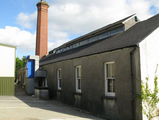 Convent of the Sacred Heartschool · 534 yd
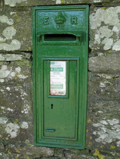 post boxpost box · 731 yd
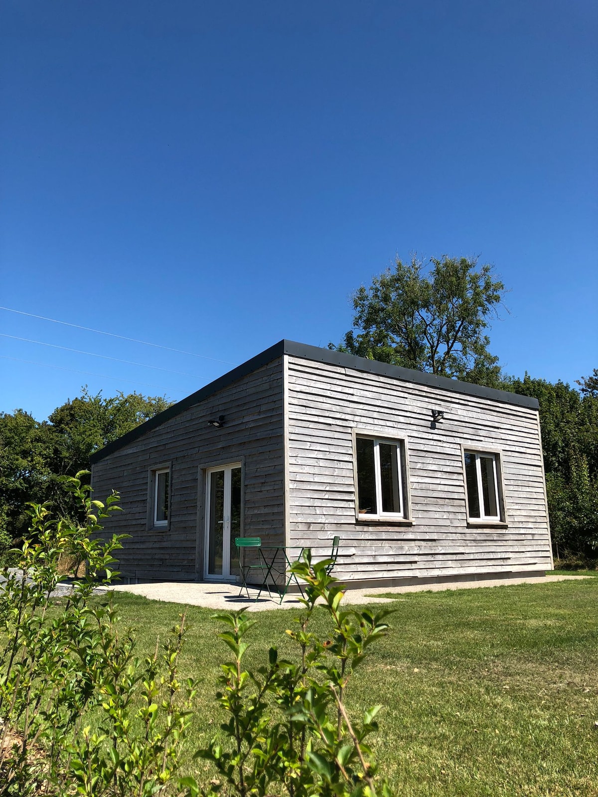 Enclosure in Desert (carbery East (e.d.) By.)Enclosure · 910 yd
 Clonakilty Tourist OfficeVisitor information · 963 yd
 Grave YdGraveyard · 1014 yd
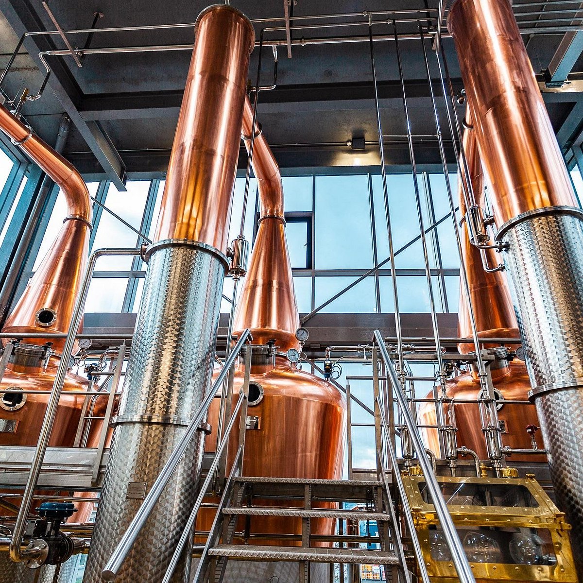 Clonakilty DistilleryHeritage attraction · 1171 yd
 West Cork Model Railway VillageHeritage attraction · 1258 yd
 Cloch na gCoillteMemorial · 1262 yd
 Clonakilty HarbourBay · 1.2 mi
 Battle of the Big Cross (1798) Memorial MonumentMonument · 1.5 mi
 Castle (Site of)Castle, unclassified · 1.8 mi
 Garden WoodWood · 1.8 mi