
What is recorded here
Located on a fairly level landscape. The cropmarks of a rectangular field system represented by single drains and covering c. 5 acres (2 ha) is visible on aerial photograph (CUCAP: BDI 93). The fields are those represented on the 1839 and 1940 eds of the OS 6-inch map and not ancient, but underlying them are three small enclosures (WX048-040001-; WX048-040002-; WX048-040003-).
Compiled by: Michael Moore
Date of upload: 8 January, 2014
The monument record does not grant public access. Check the route and ask the landowner before entering private land.
- What survives
- Recorded monument
Places near here
 Ballymacane CastleCastle, unclassified · 576 yd
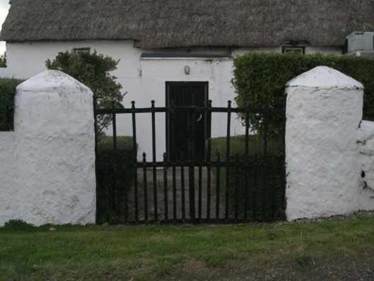 farm housefarm house · 723 yd
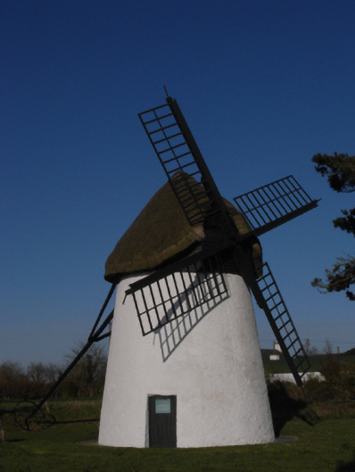 mill (wind)mill (wind) · 1017 yd
 Windmill (Corn) (Disused)Windmill · 1019 yd
 Enclosure in KnockhowlinEnclosure · 1062 yd
 CastleCastle, tower house · 1292 yd
 Wilson's MoorWood · 1501 yd
 The HamBay · 1.2 mi
 Sigginstown Island (Great)Island · 1.4 mi
 Sigginstown Island (Little)Islet · 1.5 mi
 The Bull RockForest · 2.4 mi
 1798 Memorial PlaqueMemorial · 2.5 mi
Other information
Photo: Credit not shown in the picture search · Rights wording not checked; contact us if this picture should be removed