What is recorded here
On a rocky headland on the N bank of the Shannon Estuary with extensive views over the Shannon and Carrigaholt Bay. Described (Ua Cróinín and Breen 1997) as a small bawn (25m N-S; 16m E-W) on top of a low cliff (H 5m) containing a round turret at NE. The one-storey turret is of cut stone (probably 18th-19th century) with crenellations and has a cracked flagstone as a ceiling. It has four narrow loops using 15th century jambs. A larger walled area (30m N-S; 90m E-W) contained a number of buildings (shown on the OS 25-inch map) to the N and W of the tower house (attached to the tower house at N) and incorporates the earlier bawn. The walls at N (H 3-3.5m) are of roughly dressed limestone, some recently built up while at E the wall has been strengthened to withstand sea erosion. The S wall is less well preserved (H 0.8-1.4m) and is of roughly dressed stone mixed with brick. This walled area is accessed through a gateway (CL065-100002-) at SW.
Compiled by: Mary Tunney
Date of upload: 5 November 2018
The monument record does not grant public access. Check the route and ask the landowner before entering private land.
- What survives
- Recorded monument
Places near here
 Carrigaholt CastleCastle, tower house · 38 yd
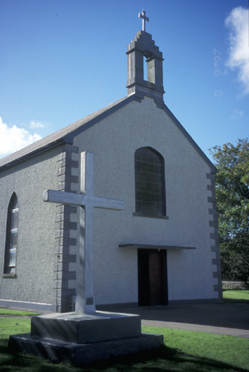 Catholic Church of the Blessed Virgin Marychurch/chapel · 803 yd
 Carrigaholt Bridgebridge · 934 yd
 Carrigaholt BayBay · 956 yd
 Kilcredaun PointHeadland · 1.1 mi
 LissyhunnaFairy fort / earthen ringfort · 1.3 mi
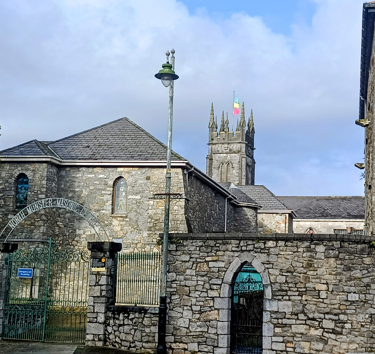 LismaguireFairy fort / earthen ringfort · 1.7 mi
 Glasheen BeachBeach / strand · 2.3 mi
 Knocknagarhoon CastleRuins · 3.2 mi
 Ocean Rowers MemorialMemorial · 3.8 mi
 IllaunonearaunIslet · 3.9 mi
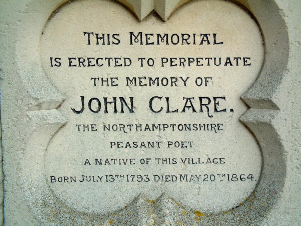 Memorial PlaqueMemorial · 4.1 mi