What is recorded here
In flat expanse pasture, located on a slight rise, straddling the break of slope of a steep E-facing slope, which falls into a N-S stream valley.
This enclosure is not shown on the 1838 edition OS 6-inch map; it is indicated on the 1919 edition as a circular enclosure outlined by a solid line On the 25-inch plan trees are shown in the interior. It is recorded in an aerial photograph (OS 2 8787 -8; Roll 216, pr. 6; SMR file).
It has been partly levelled but its outline can still be discerned as a slight circular rise (c. 23.7m E-W; 24.7m N-S) enclosed by a narrow, shallow fosse (W c. 1.2m; D 0.1m). The interior encompasses part of the E-facing slope so that there is there is an abrupt drop in ground level of c. 1.6m in the E third of the interior, and the enclosing fosse cuts across the steep E-facing ridge slope. Cultivation ridges on a N-S axis can be seen traversing the interior; these appear to post-date the enclosure.
This is an unusual enclosure –in particular the narrow fosse and the steeply sloping interior. It may have been a tree-ring, as indicated on the 25-inch plan, and later used for cultivation. A similarly enclosure (MA062-051----) is located c. 100m to SSE.
Compiled by: Jane O’Shaughnessy
Date of upload: 30 November 2020
The monument record does not grant public access. Check the route and ask the landowner before entering private land.
- What survives
- Recorded monument
Places near here
 bridgebridge · 398 yd
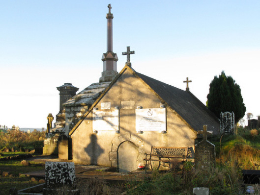 mausoleummausoleum · 520 yd
 Procession Of The SoulsMemorial · 1072 yd
 Brabazon WoodsForest · 1508 yd
 Enclosure in LagcurraghEnclosure · 1644 yd
 IndicatedFairy fort / earthen ringfort · 1698 yd
 Youth Memorial GardenMemorial · 1737 yd
 HawthornHawthorn · 2.3 mi
 Castle (in Ruins)Castle, unclassified · 2.6 mi
 Hennigan's Heritage CentreHeritage attraction · 2.8 mi
 Thorn CaveCave · 4.2 mi
 Kiltimagh MuseumMuseum · 7.5 mi