What is recorded here
Marked only on the 1929 ed. of the OS 6-inch map as a subsicrular wooded area, and situated towards the bottom of a S-facing slope. Circular grass and rush-covered area (int. diam. 44m E-W) defined by a hedge and slight ditch (Wth 2.5m; D 0.1-0.2m) with some tree stumps in the interior.
Compiled by: Michael Moore
Date of upload: 24 August 2010
The monument record does not grant public access. Check the route and ask the landowner before entering private land.
- What survives
- Recorded monument
Places near here
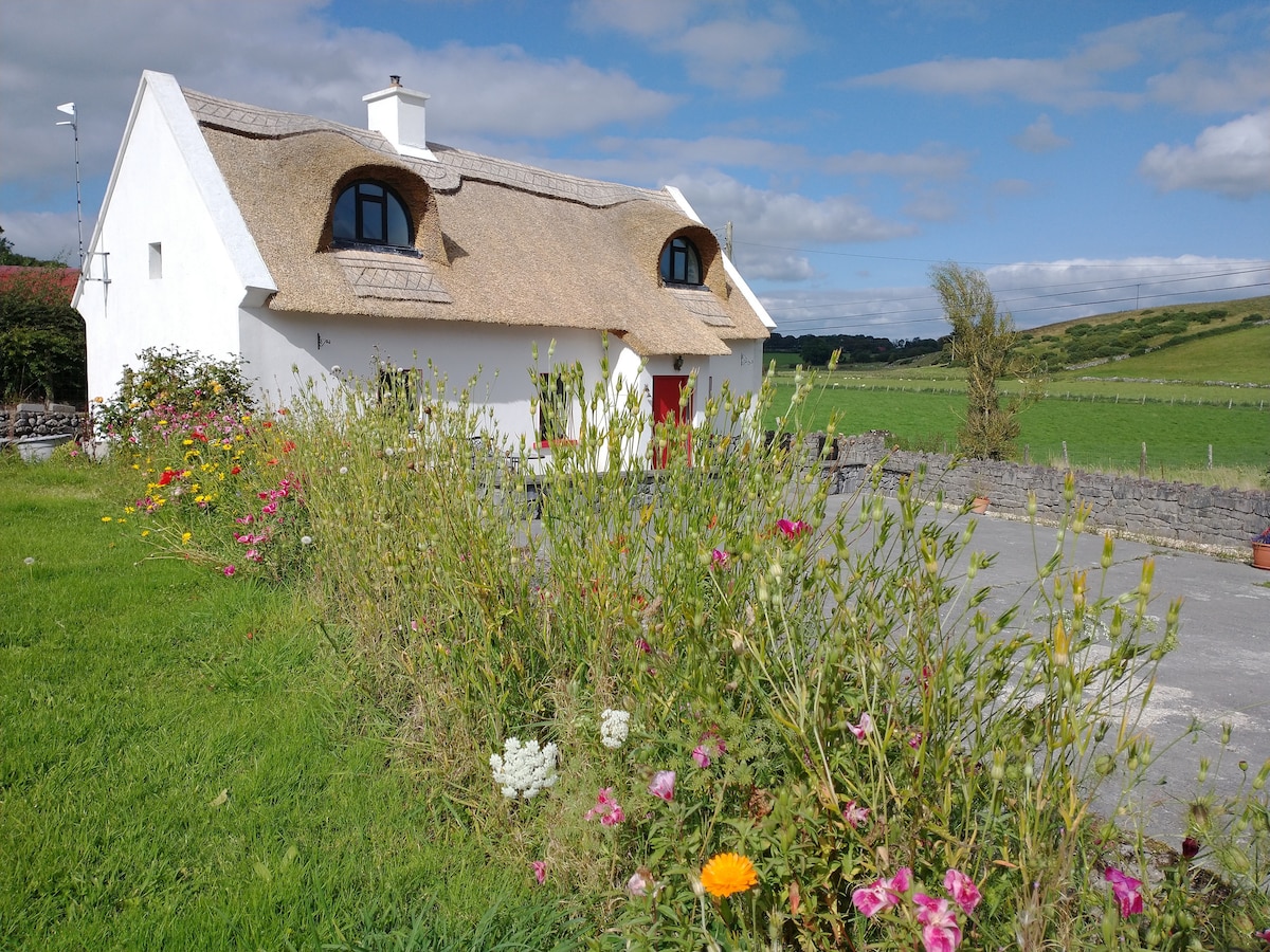 Sweathouse in RathmoyleSweathouse · 170 yd
 RathmoyleArchaeological place · 796 yd
 Church in GlenvelaChurch · 900 yd
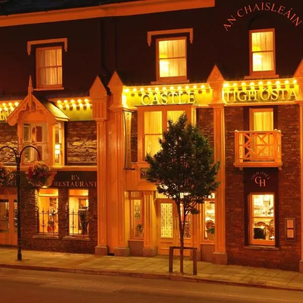 IndicatedChurch · 1059 yd
 CastlerubyCastle, unclassified · 2.0 mi
 GortnacushlaunCastle, unclassified · 3.6 mi
 European ashEuropean ash · 3.7 mi
 ToberagullaSpring · 3.7 mi
 Silver IslandIslet · 4.3 mi
 Cruachan Aí Heritage CentreMuseum · 4.6 mi
 Workhouse MemorialMemorial · 4.9 mi
 Fairymount HillMountain / peak · 6.4 mi