What is recorded here
In level pastureland, formerly within the demesne of Tullira. Marked on the 1838 edition of the OS 6-inch map as an unenclosed roughly subcircular mixed tree plantation; on the 1921 edition it is enclosed by a wall. Described by McCaffrey (1952, 286, no. 52a) as a ‘very ruinous’ circular ‘Stone fort (?)’ (diam. c. 54m) with a tree plantation in the interior. The enclosing wall was hidden among the trees. The plantation is still evident but the enclosing wall consists of circular field wall. Nothing of archaeological significance was noted. The current evidence is insufficient to warrant accepting this as an archaeological monument; possibly a landscape feature.
Compiled by: Galway Archaeological Survey, UCG
Date of upload: 17 June 2019
The monument record does not grant public access. Check the route and ask the landowner before entering private land.
- What survives
- Recorded monument
Places near here
 IndicatedFairy fort / stone ringfort · 698 yd
 CaveMan-made underground passage · 780 yd
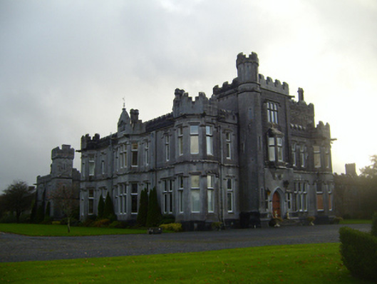 Tullira Castlecountry house · 1053 yd
 R.C. Chapel (in Ruins)Church · 1303 yd
 Castle (in ruins)Castle, Anglo-Norman masonry castle · 1.3 mi
 Rahaly Castle (in ruins)Castle, tower house · 1.3 mi
 HawthornHawthorn · 2.1 mi
 European ashEuropean ash · 2.2 mi
 Drumharsna CastleHeritage attraction · 2.3 mi
 Drumacoo Monastic SiteHeritage attraction · 6.1 mi
 Mulroney's IslandIslet · 6.7 mi
 Kilmacduagh Monastic SiteVisitor information · 7.8 mi