What is recorded here
Indicated is a lost graveyard beside a ruined medieval church, buried beneath Purcellsinch industrial estate and the Kilkenny to Waterford railway. It appeared on an 1839-40 map as an unenclosed area, then vanished from later mapping, leaving no markers behind. The dead may still lie under factory floors and train wheels, forgotten by the living but unchanged beneath them.
Approximately 2.5km E of the medieval city of Kilkenny (KK019-026----), on a gentle S-facing slope. It is currently within Purcellsinch industrial estate and c. 20m S of the NW-SE Kilkenny to Waterford railway line.
On the 1st (1839-40) ed. OS 6-inch map there is an irregular unenclosed area (dims. c. 47m E-W; c. 37m N-S) indicated with the medieval church (KK019-029----) in the centre. On the revised 1945-6 map no graveyard is indicated. The church survives in a ruinous condition but there is no enclosed graveyard and there are no grave markers.
Compiled by: Jean Farrelly
Date of upload: 5 October 2020
The monument record does not grant public access. Check the route and ask the landowner before entering private land.
- What survives
- Recorded monument
Places near here
 Church (in ruins)Church · 7 yd
 Aughmalogue Bridgebridge · 351 yd
 Saint Molagga's WellSpring · 373 yd
 CrossCross, High cross · 747 yd
 Site of Lyrath Ch.Church · 1101 yd
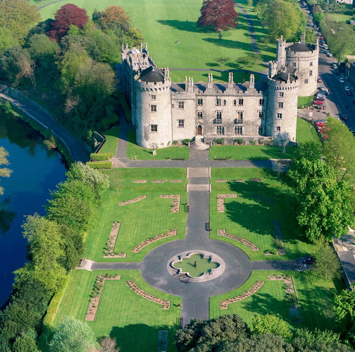 Site of Lavistown CastleCastle, unclassified · 1672 yd
 Ivan PowerMemorial · 1703 yd
 Michael CarthyMemorial · 1753 yd
 KilkennyVisitor information · 1.4 mi
 Kilkenny County Council Car ParkVisitor information · 1.4 mi
 Stephens Barracks MuseumMuseum · 1.7 mi
 Grace's Old CastleCastle · 1.7 mi