What is recorded here
Approximately 2.5km E of the medieval city of Kilkenny (KK019-026----), on a gentle S-facing slope. It is currently within Purcellsinch industrial estate and c. 20m S of the NW-SE Kilkenny to Waterford railway line.
On the 1st (1839-40) ed. OS 6-inch map there is an irregular unenclosed area (dims. c. 47m E-W; c. 37m N-S) indicated with the medieval church (KK019-029----) in the centre. On the revised 1945-6 map no graveyard is indicated. The church survives in a ruinous condition but there is no enclosed graveyard and there are no grave markers.
Compiled by: Jean Farrelly
Date of upload: 5 October 2020
The monument record does not grant public access. Check the route and ask the landowner before entering private land.
- What survives
- Recorded monument
Places near here
 Church (in ruins)Church · 7 yd
 Aughmalogue Bridgebridge · 351 yd
 Saint Molagga's WellSpring · 373 yd
 CrossCross, High cross · 747 yd
 Site of Lyrath Ch.Church · 1101 yd
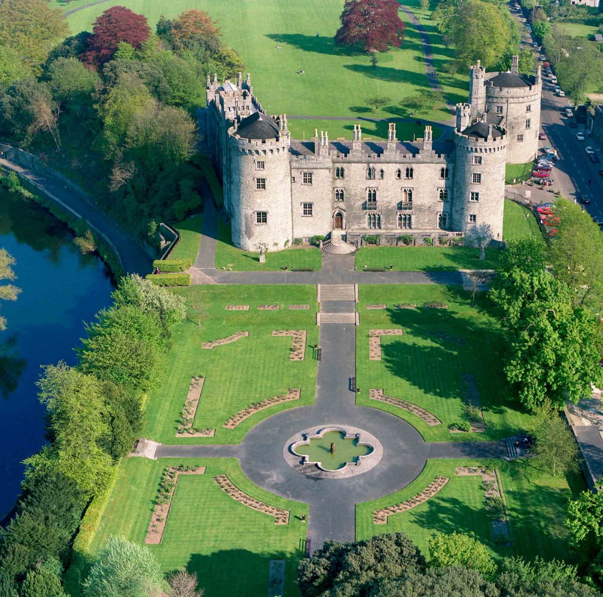 Site of Lavistown CastleCastle, unclassified · 1672 yd
 Ivan PowerMemorial · 1703 yd
 Michael CarthyMemorial · 1753 yd
 KilkennyVisitor information · 1.4 mi
 Kilkenny County Council Car ParkVisitor information · 1.4 mi
 Stephens Barracks MuseumMuseum · 1.7 mi
 Grace's Old CastleCastle · 1.7 mi