What is recorded here
Indicated is a collapsed stone ringfort on rough Clare pasture, its thirty-metre circle reduced to a low spread of broken rock hidden beneath briar and thorn. It may have stood as a defended home or temporary shelter before human activity scattered its walls across the field.
On level but rough, rocky pastureland within a field system (CL006-036001-). Indicated on the 1915 ed. of the 6-inch OS map. Listed as ‘Enclosure’ in the SMR (1992) and the RMP (1996). A very poorly preserved subcircular cashel (ext. dims. c. 32m E–W; 33m N–S defined by a collapsed stone spread (Wth 3–5m; H 0.4–0.6m) with no obvious trace of facing-stones or an original entrance. A later field wall runs E–W across the N limits and the site is 100% overgrown with briar and thorn. A Man-made underground passage is marked in the site on Robinson’s map (1977), however, no trace was found during a field inspection (1997). A subrectangular enclosure is shown abutting the E limits of the site on the 1915 ed. of the OS 6-map; this has been cleared with some of the stones dumped onto the cashel wall-line. It may have been an old annexe contemporary with the cashel. Two cashels (CL006-036003- and CL006-036004-) are visible 115m and 260m to the SSW respectively and an enclosure (CL006-036002-) is visible 125m to the NW.
Compiled by: Mary Tunney and Ros Ó Maoldúin
Date of upload: 12 May 2021
The monument record does not grant public access. Check the route and ask the landowner before entering private land.
- What survives
- Recorded monument
Places near here
 IndicatedFairy fort / stone ringfort · 338 yd
 Enclosure in Poulaphuca (oughtmama Ed)Enclosure · 869 yd
 Castle Mael (in ruins)Castle, unclassified · 1.7 mi
 PoulnabroneMemorial · 1.7 mi
 Turlough CastleArchaeological place · 1.7 mi
 Templecronan (in ruins)Church · 2.1 mi
 Saint Columba's Catholic Churchchurch/chapel · 2.4 mi
 Gleninshing portal tombHeritage attraction · 2.4 mi
 Gleninshing tombHeritage attraction · 2.4 mi
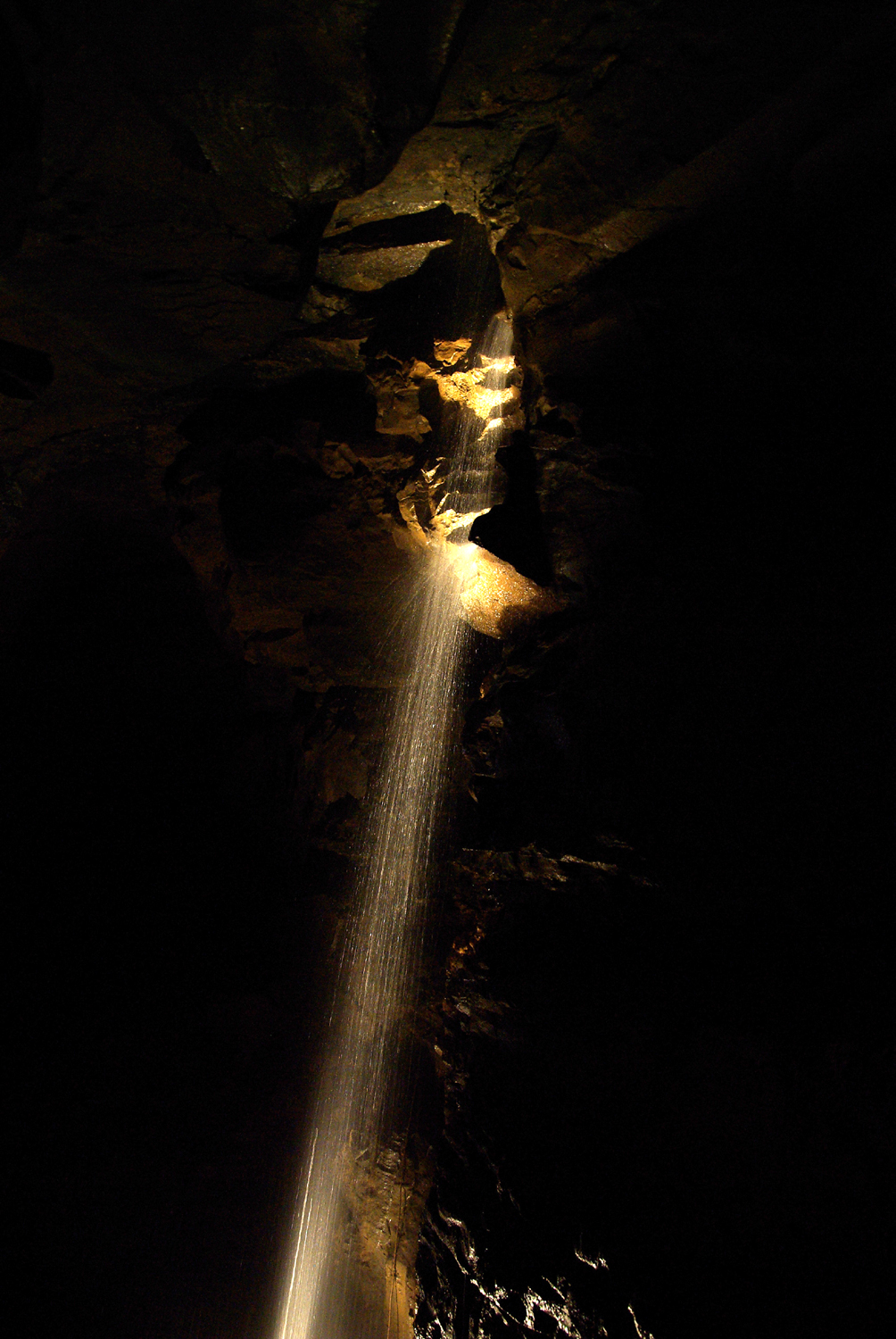 Aillwee CaveCave · 2.5 mi
 The Portal TombVisitor information · 2.5 mi
 Poulnabrone - Burren GeositeVisitor information · 2.5 mi