What is recorded here
On the SW-facing slope of a hillock in tillage. This poorly preserved circular rath (diam. 24m) is defined by a bank (H 1.1m; Wth 2.5m) which is encircled by a field wall; at N the bank is incorporated into the field wall. On inspection the interior was totally overgrown and inaccessible.
Compiled by: Galway Archaeological Survey, UCG
Date of upload: 14 June 2019
A local fairy fort (ringfort/rath); wider significance not recorded.
The monument record does not grant public access. Check the route and ask the landowner before entering private land.
- What survives
- Recorded monument
Places near here
 Maryville Househouse · 669 yd
 Lackmacmahon Stone CrossCross · 834 yd
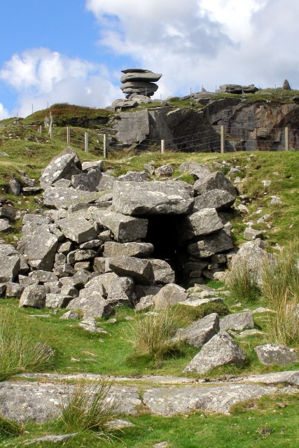 CaveMan-made underground passage · 910 yd
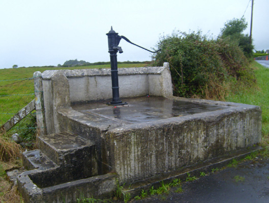 water pumpwater pump · 1.0 mi
 Ballymaquiff CastleCastle · 1.6 mi
 Drumharsna Castle (in ruins)Castle, tower house · 1.6 mi
 Drumharsna CastleHeritage attraction · 1.6 mi
 European BeechEuropean Beech · 1.9 mi
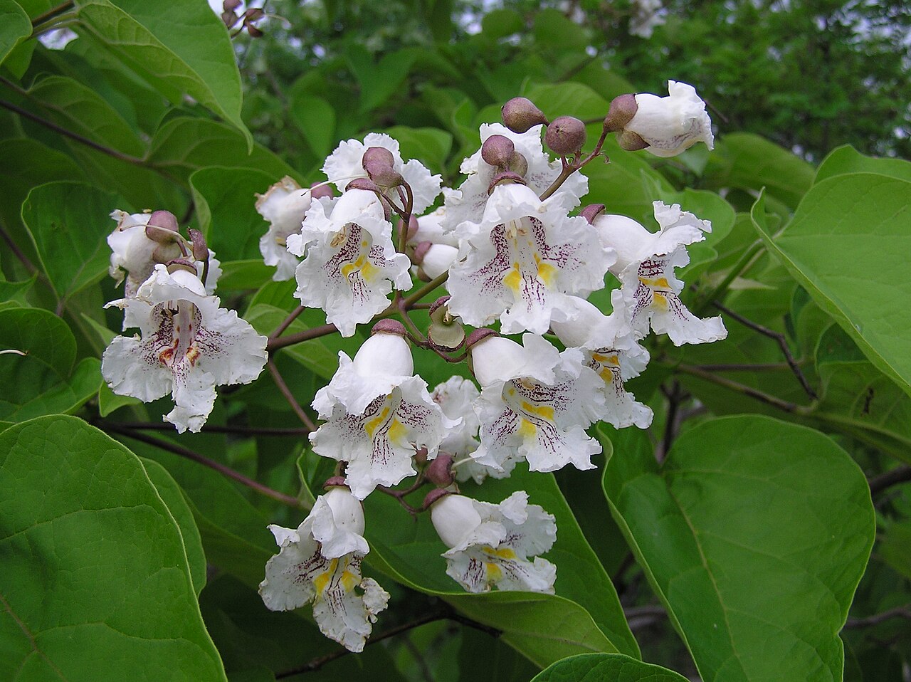 Southern catalpaSouthern catalpa · 2.0 mi
 Mulroney's IslandIslet · 4.5 mi
 Cusheen IslandIslet · 4.8 mi
 Kilmacduagh Monastic SiteVisitor information · 5.2 mi