What is recorded here
Located towards the bottom of a NE-facing slope, which is in a slight col with slightly higher ground c. 500m to the N. The parish church of Piercetown (ME033-019----) is within a rectangular graveyard (dims c. 45m NW-SE; c. 40m NE-SW) defined by earthen banks and trees with, a NW-SE road outside the perimeter at SW.
Compiled by: Michael Moore
Date of upload: 9 February, 2015
The monument record does not grant public access. Check the route and ask the landowner before entering private land.
- What survives
- Recorded monument
Places near here
 Church (in Ruins)Church · 12 yd
 Enclosure in Piercetown (duleek Upper By.)Enclosure · 315 yd
 PuddenhillHeritage attraction · 614 yd
 Enclosure in RoadmainEnclosure · 974 yd
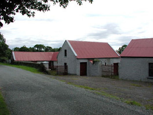 farmyard complexfarmyard complex · 1.1 mi
 Newtown GorseWood · 1.5 mi
 Newtown HillMountain / peak · 1.9 mi
 CastleCastle, unclassified · 2.1 mi
 Athcarne CastleCastle, tower house · 2.7 mi
 Emerald ParkHeritage attraction · 3.0 mi
 Lemur WoodWood · 3.1 mi
 The story of the milk standMemorial · 3.6 mi