What is recorded here
Situated at the SE end of a slight NW-SE ridge that is on a NE-facing slope overlooking a small dry closed valley. A small embanked enclosure (ext. diam. c. 25m) with a farm lane curving around it NE-S and farm buildings just to the W is depicted on the 1834 edition of the OS 6-inch map where it is described in gothic lettering as a ‘fort’, and it is represented as a D-shaped enclosure with straight sides at W and N on the 1907 edition. This is a subcircular area (dims c. 30m N-S; c. 26m E-W) defined by field banks, and is used as a haggard.
The above description is derived from the published 'Archaeological Inventory of County Monaghan' (Dublin: Stationery Office, 1986). In certain instances the entries have been revised and updated in the light of recent research.
Revised by: Michael Moore
Date of revision: 1 February 2018
A local fairy fort (ringfort/rath); wider significance not recorded.
The monument record does not grant public access. Check the route and ask the landowner before entering private land.
- What survives
- Recorded monument
Places near here
 Fairy fort / earthen ringfort in AghacloghanFairy fort / earthen ringfort · 728 yd
 Black fortFairy fort / earthen ringfort · 933 yd
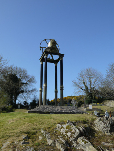 Saint Mary's Catholic Churchbell tower/stand · 1.1 mi
 farm housefarm house · 1.7 mi
 TobernagalliaghSpring · 2.0 mi
 Tally WoodWood · 2.8 mi
 Gully IslandIslet · 2.8 mi
 Rock IslandIslet · 3.0 mi
 Mannan Castle (in ruins)Castle, Anglo-Norman masonry castle · 3.2 mi
 Horse-chestnutHorse-chestnut · 3.3 mi
 Fincarn HillMountain / peak · 3.7 mi
 RaferaghMountain / peak · 3.9 mi