What is recorded here
In gently undulating pastureland. Marked on the OS 1:2500 plan (surveyed 1912-16) as a roughly subcircular enclosure (c. 33m E-W; c. 30m N-S) with a central mound (c. 14m E-W; c. 12m N-S). On inspection in February 1984 no visible surface trace survived. However, its outline is very clearly visible on current OSi aerial imagery (Google Earth 2018). Possibly a ring-barrow.
Compiled by: Olive Alcock
Date of upload: 14 June 2019
The monument record does not grant public access. Check the route and ask the landowner before entering private land.
- What survives
- Recorded monument
Places near here
 First Battle of Athenrybattle · 1429 yd
 Church (in ruins)Church · 1595 yd
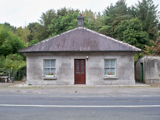 Castle Ellen Housegate lodge · 1.0 mi
 Field system in Carnaun (athenry By.)Field system · 1.2 mi
 Convent (in ruins)Castle, ringwork · 1.2 mi
 CaherroynFairy fort / earthen ringfort · 1.3 mi
 Horse-chestnutHorse-chestnut · 1.3 mi
 Castle (in Ruins)Castle, unclassified · 1.5 mi
 Athenry CastleHeritage attraction · 1.5 mi
 Athenry AbbeyHeritage attraction · 1.6 mi
 The HazelWood · 3.1 mi
 Leadmine HillMountain / peak · 10 mi