
What is recorded here
Indicated (1846) is a vanished rath in County Kerry, Ireland, marked only on an 1846 map and hinted at by faint soil ridges beside the Gweestin River. It may have been a home, a boundary marker or a child memory made into shape, yet no wall remains for a finger to follow. The land has taken back its own outline, leaving behind a circle large enough to walk around and small enough to forget.
In pasture, on a level area, c. 50m W of the Gweestin River. This possible rath is not visible at ground level though there are slight undulations in the area. It is indicated as a circular enclosure (diam. c. 30m) on the 1846 OS 6-inch map.
M. Connolly identified the low remains of a mound and ditch at this location during the course of an assessment of a 40 square mile area for the purpose of choosing a road route in 2000 to the north of Killarney. Further information is required from M. Connolly (i.e. copy of photo) to establish if the low remains are indeed that of the rath and this Inventory entry may then need an update. U. Egan, 17/11/2005..
Compiled by: Elizabeth Byrne, Ursula Egan and Sheila Ronan, Archaeological Survey Unit, University College, Cork.
Date of upload: 31 January 2011
The monument record does not grant public access. Check the route and ask the landowner before entering private land.
- What survives
- Recorded monument
Places near here
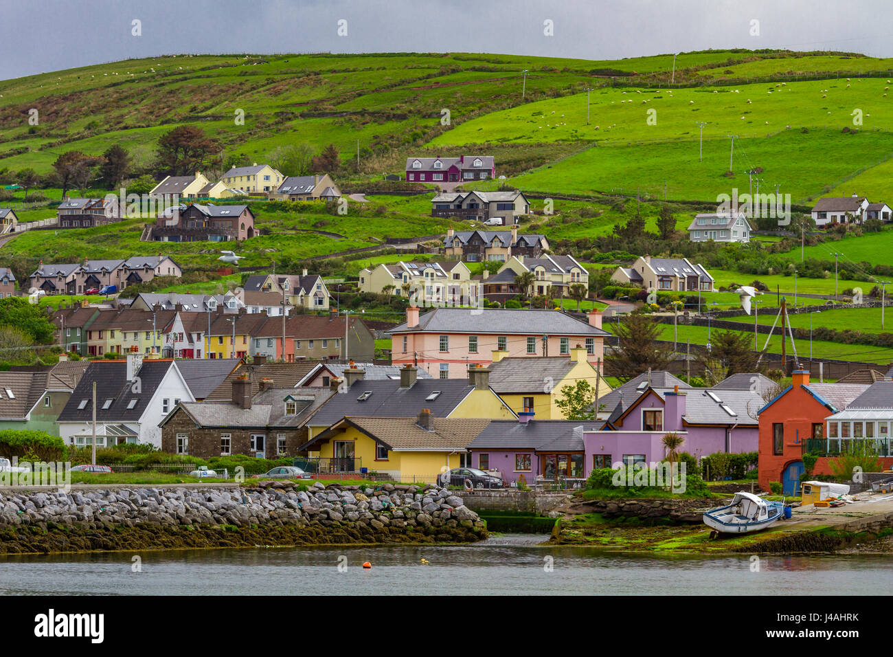 Indicated (1846).Fairy fort / earthen ringfort · 362 yd
 CaveMan-made underground passage · 495 yd
 Church in Glebe (magunihy By., Kilcummin Ed)Church · 831 yd
 Dooneen Br.Bridge · 941 yd
 Famine MemorialMemorial · 3.6 mi
 Aghadoe Early Medieval Ecclesiastical SiteHeritage attraction · 3.7 mi
 GinkgoGinkgo · 3.8 mi
 Parkavonear CastleCastle · 3.8 mi
 Kerry 2nd Brigade of the Irish Republican ArmyMemorial · 3.8 mi
 Giant SequoiaGiant Sequoia · 4.1 mi
 Jaunting ToursHeritage attraction · 4.1 mi
 Circular WalkWalking route · 4.2 mi
Other information
Photo: Credit not shown in the picture search · Rights wording not checked; contact us if this picture should be removed